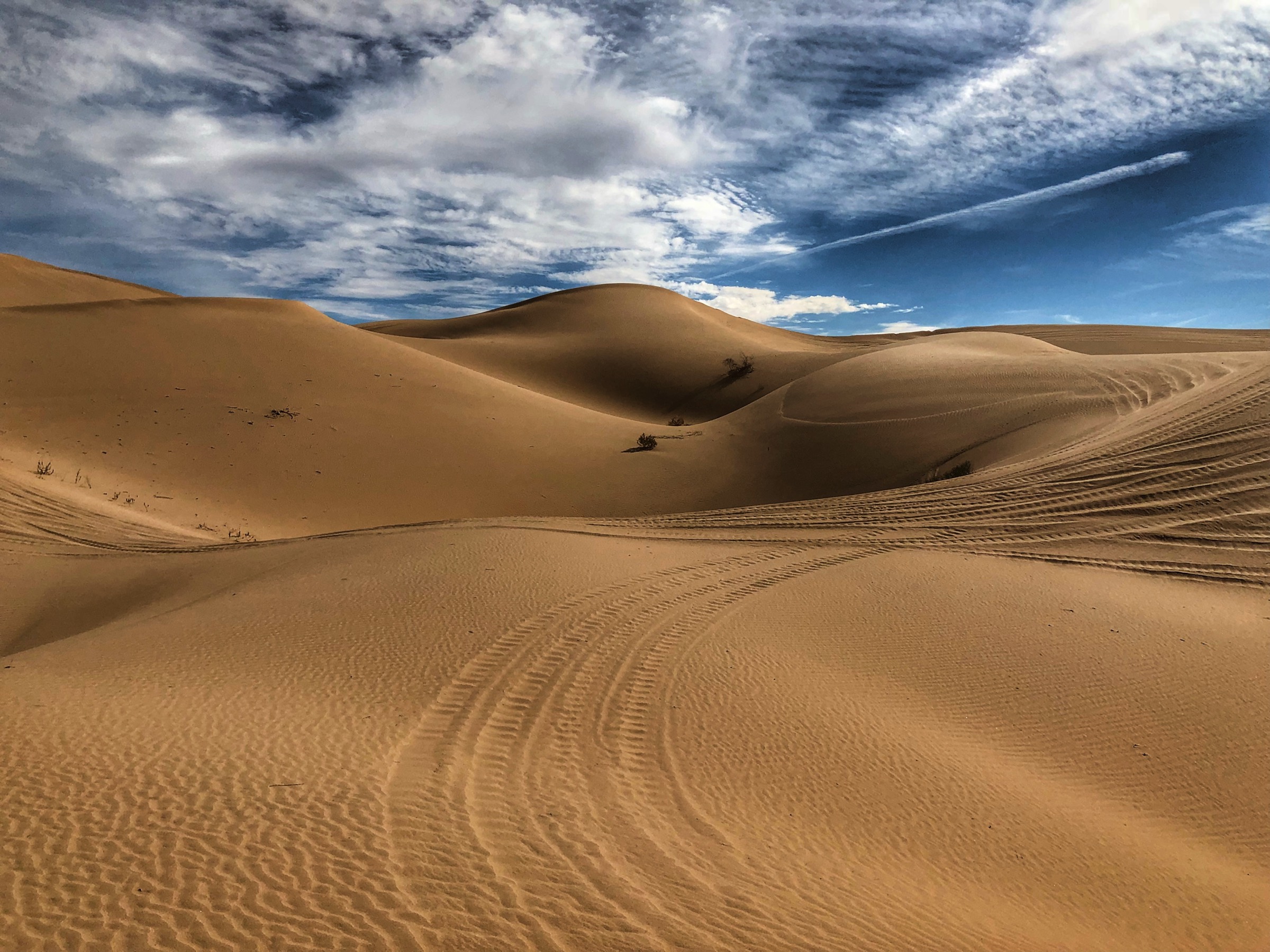
The dunes, in your pocket.
Glamis Guide is the offline map of the Imperial Sand Dunes for iPhone, iPad and Apple Watch: every camp, hill and landmark, working where cell service does not.
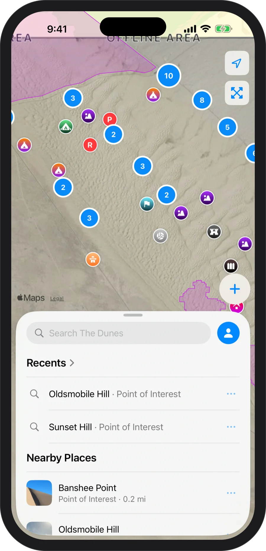
Built for the dunes
Zero bars required.
Sand has shape. Now your map does too.
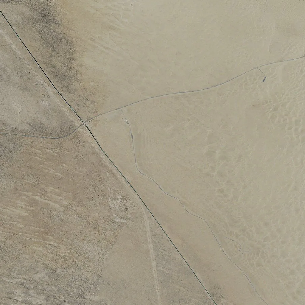
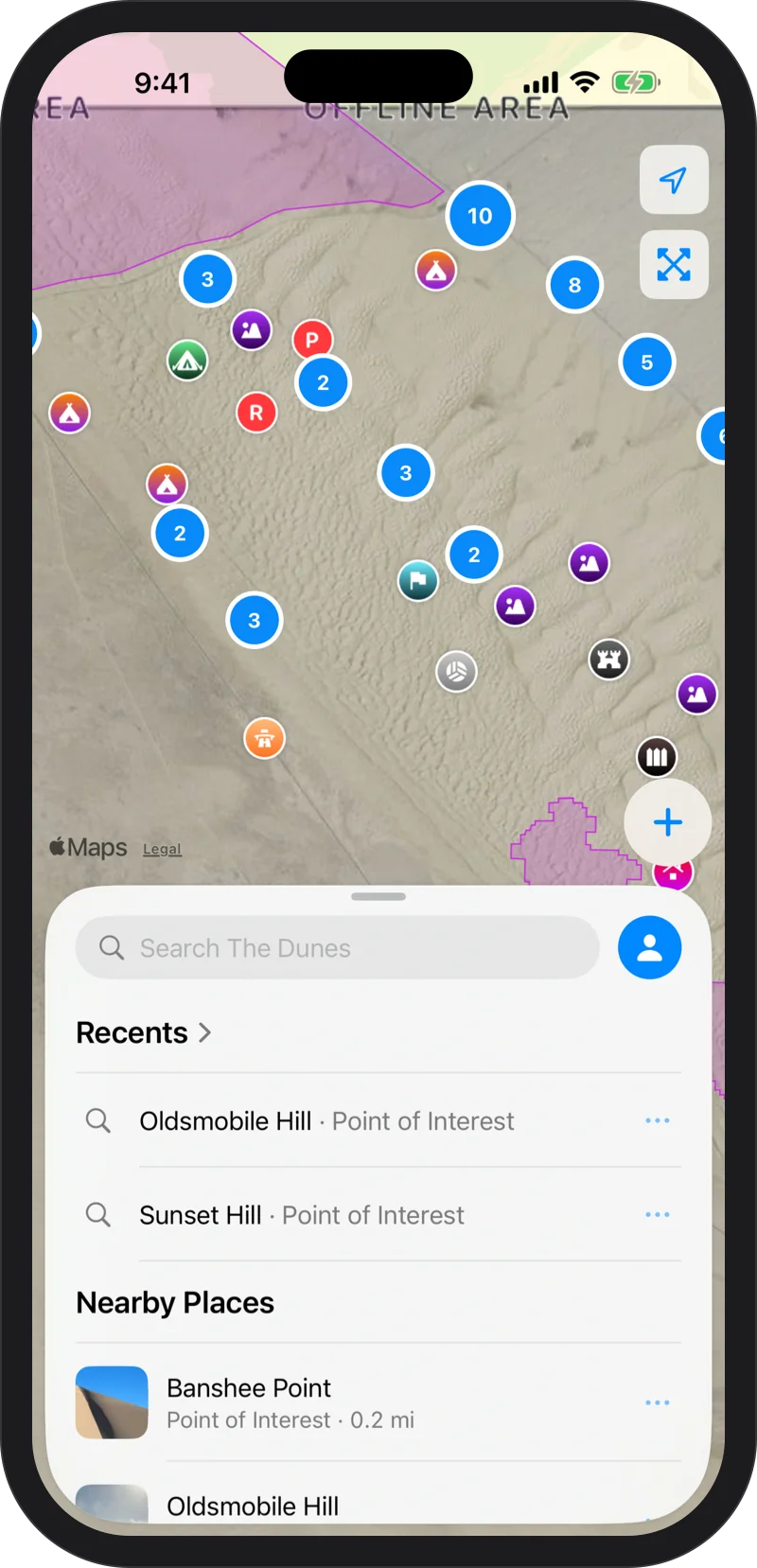
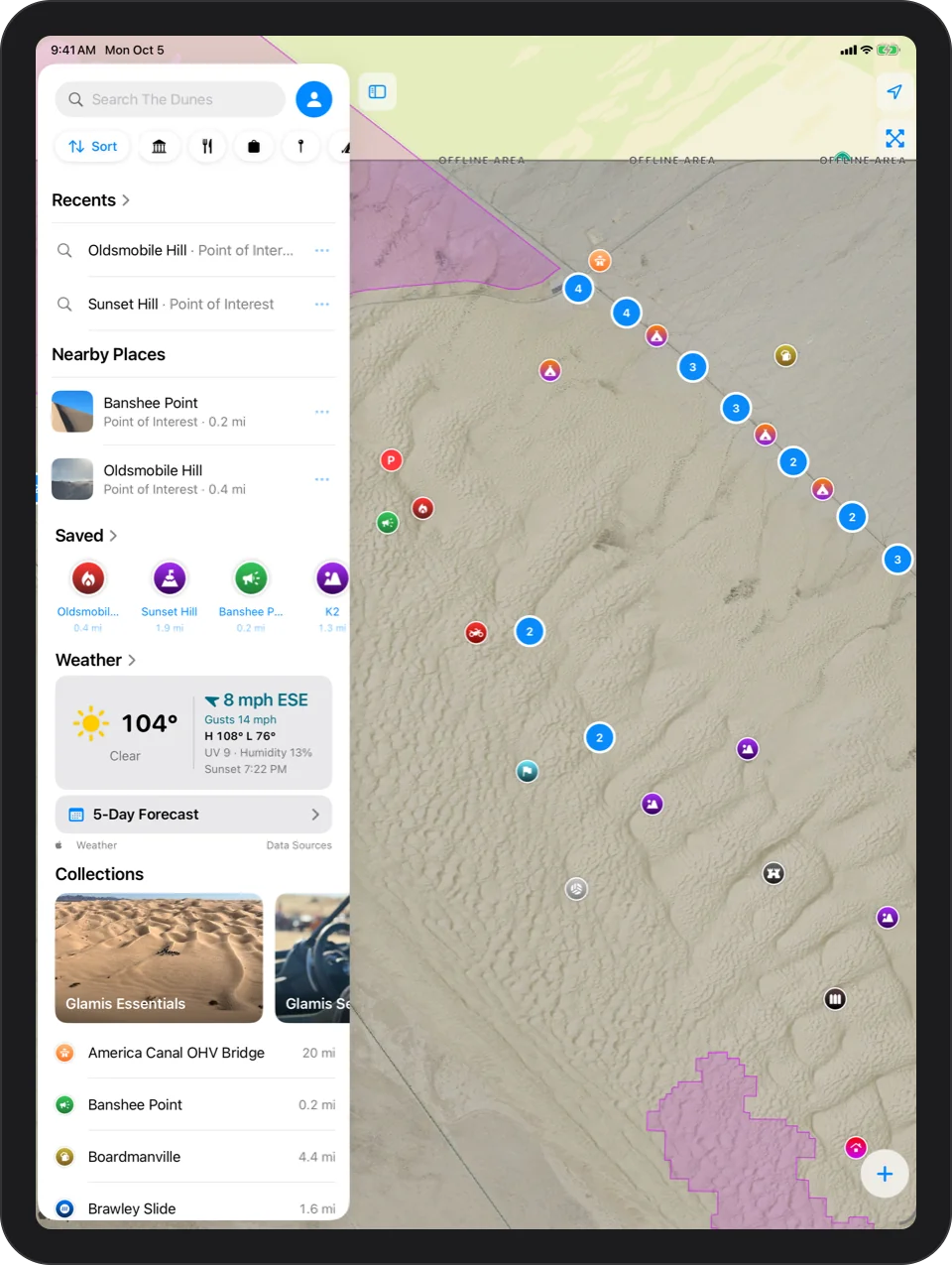
The whole dune field is already on your phone: NAIP imagery with a custom elevation model applied, so every bowl, ridge and slip face reads at a glance, whether or not you have a signal.
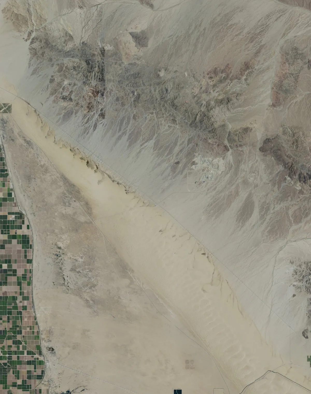
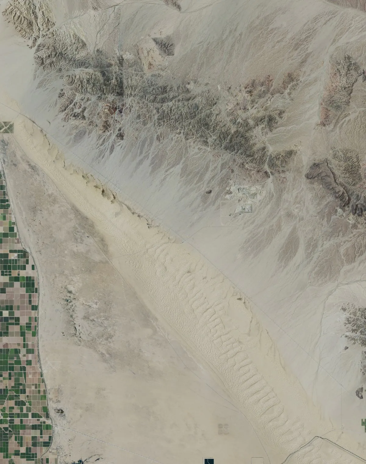
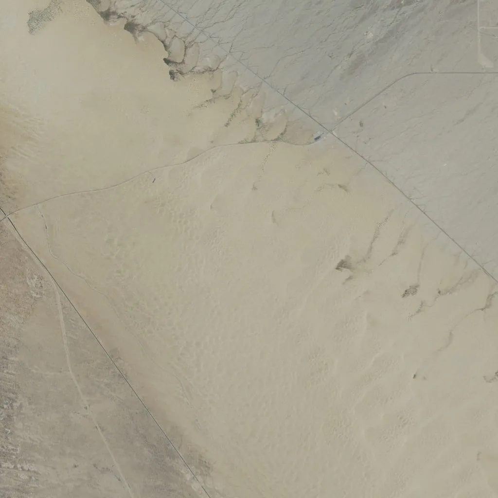
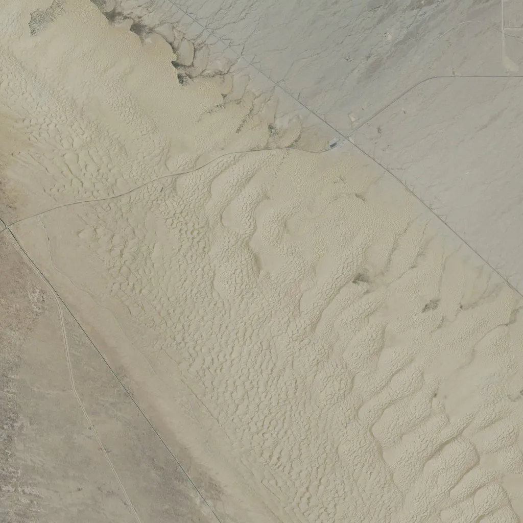
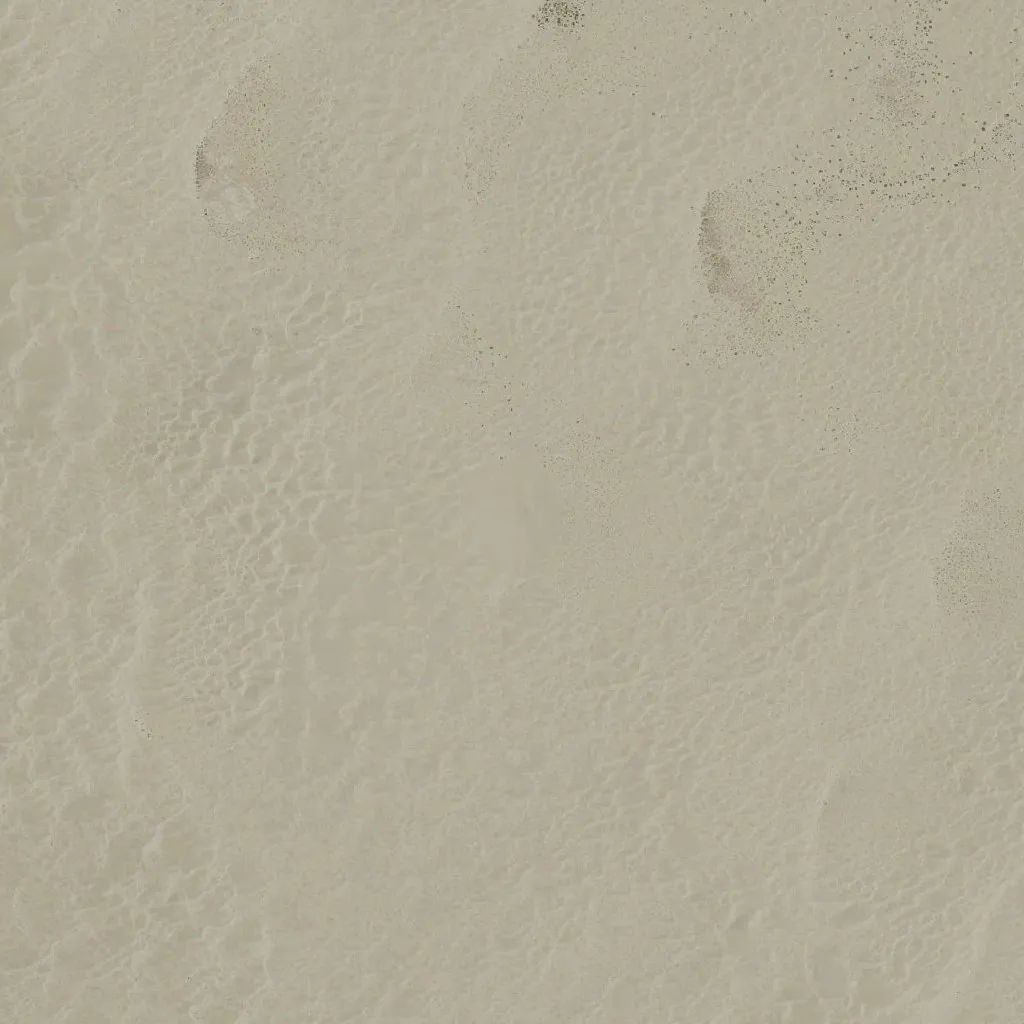
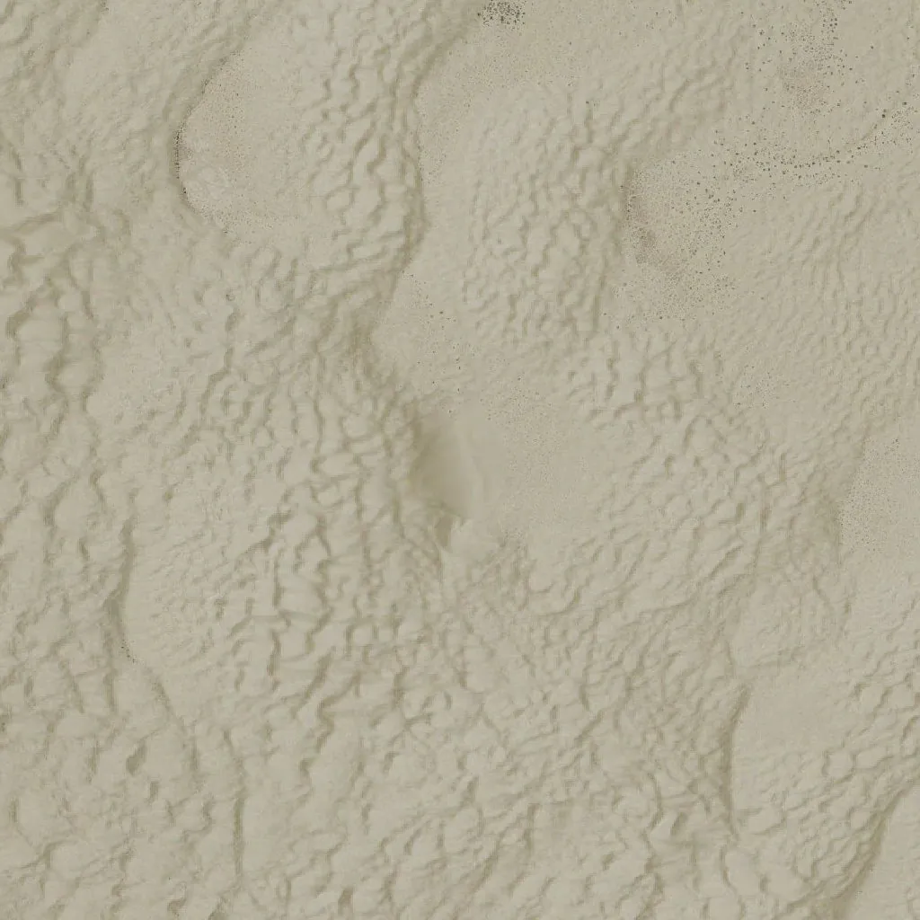
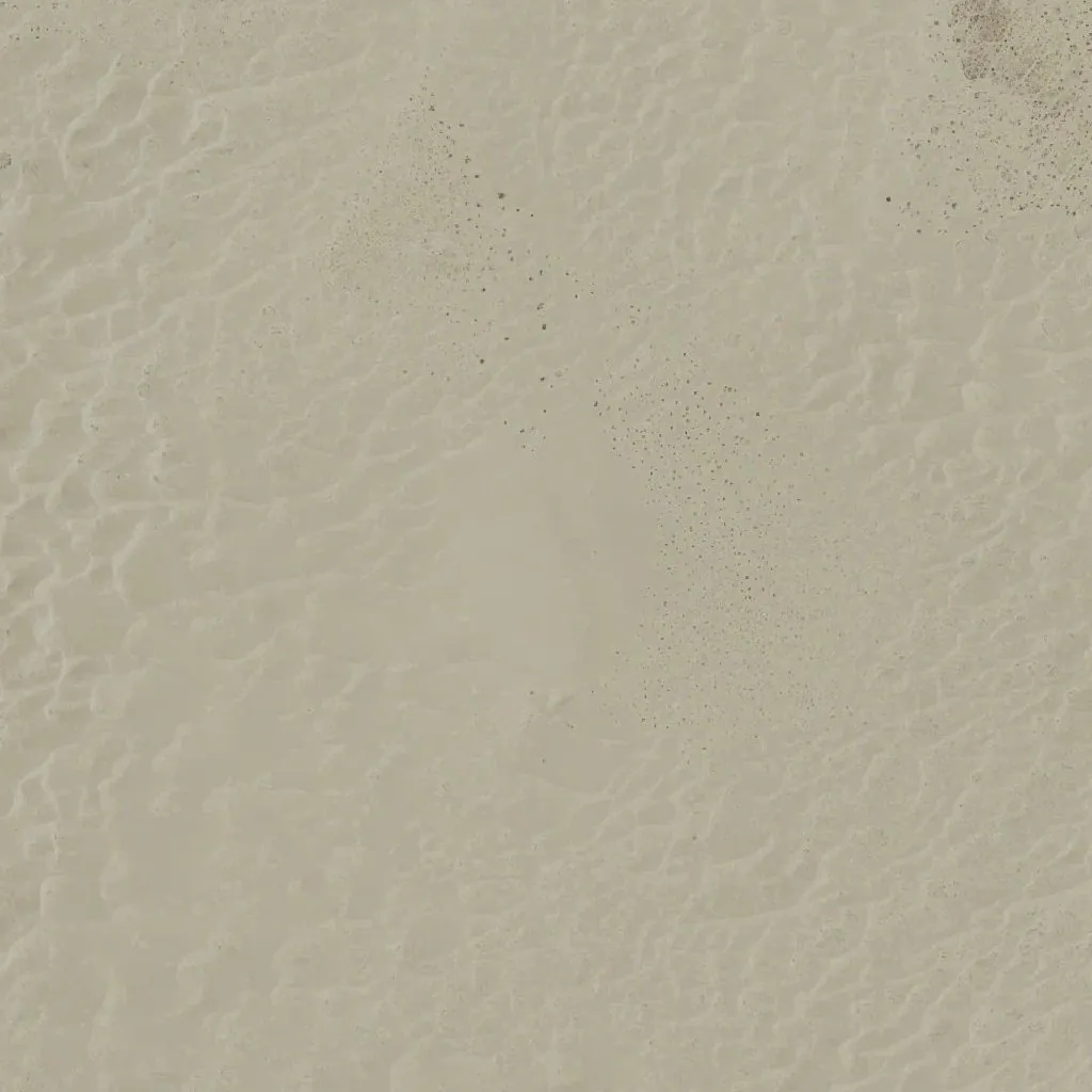
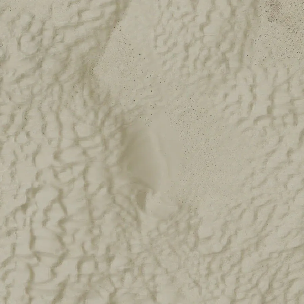
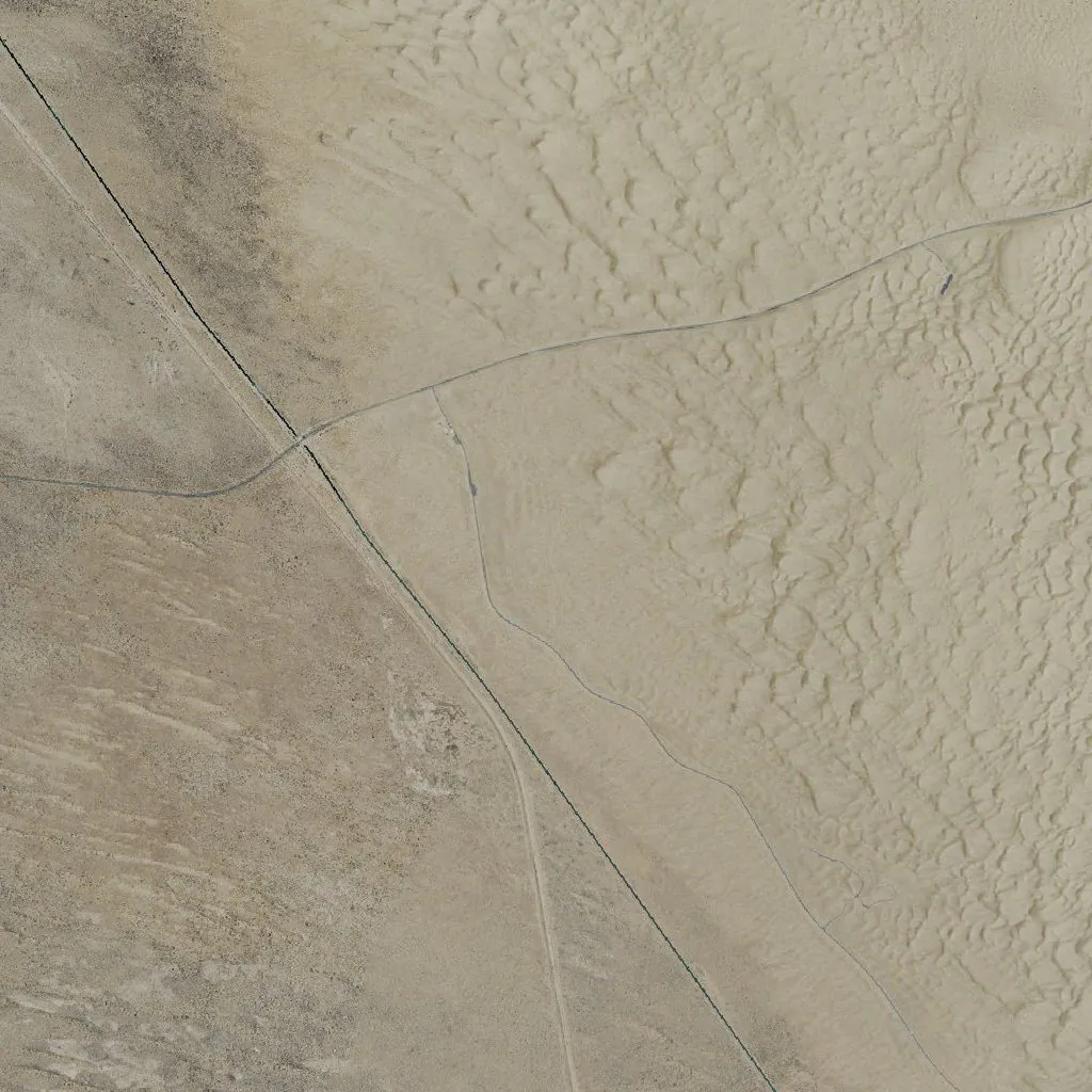
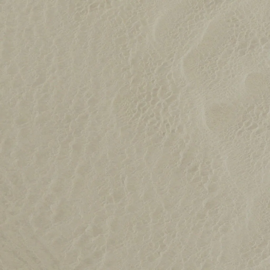
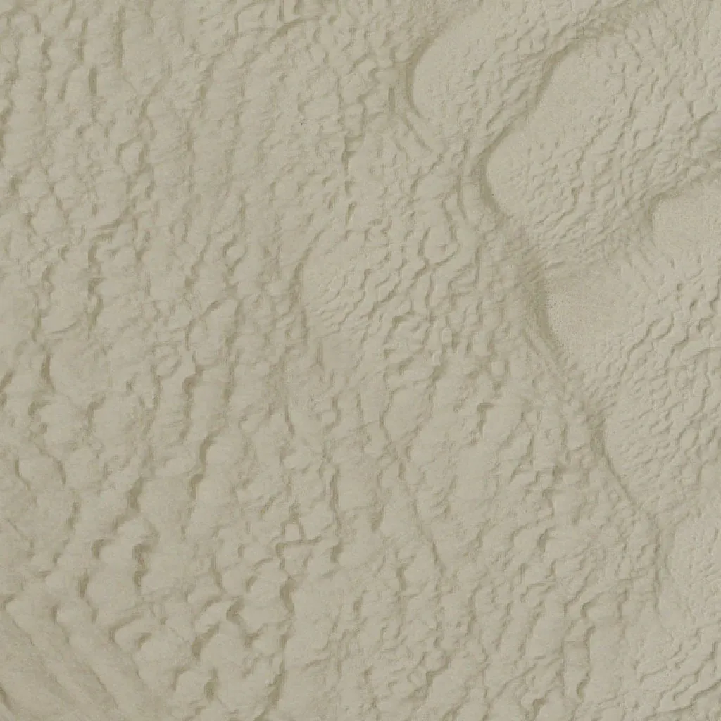
Oldsmobile Hill at riding scale. The bowl and the slip face are impossible to miss.
Closed Areas, Marked
The North Algodones Dunes Wilderness is drawn in purple, and so are the BLM OHV closures from the official Imperial Sand Dunes map: the Coachella Canal and Patton Valley band, Mammoth Wash, Test Hill and Buttercup.
- Ride into one and the app tells you, with a buzz.
- A guide, not a survey. Always follow posted signs.
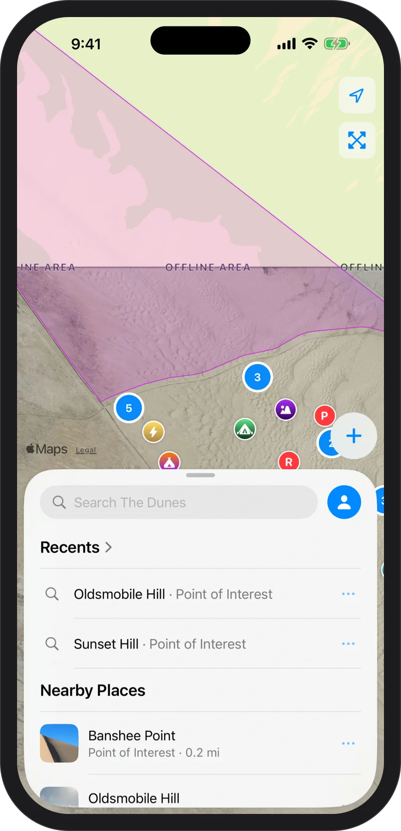
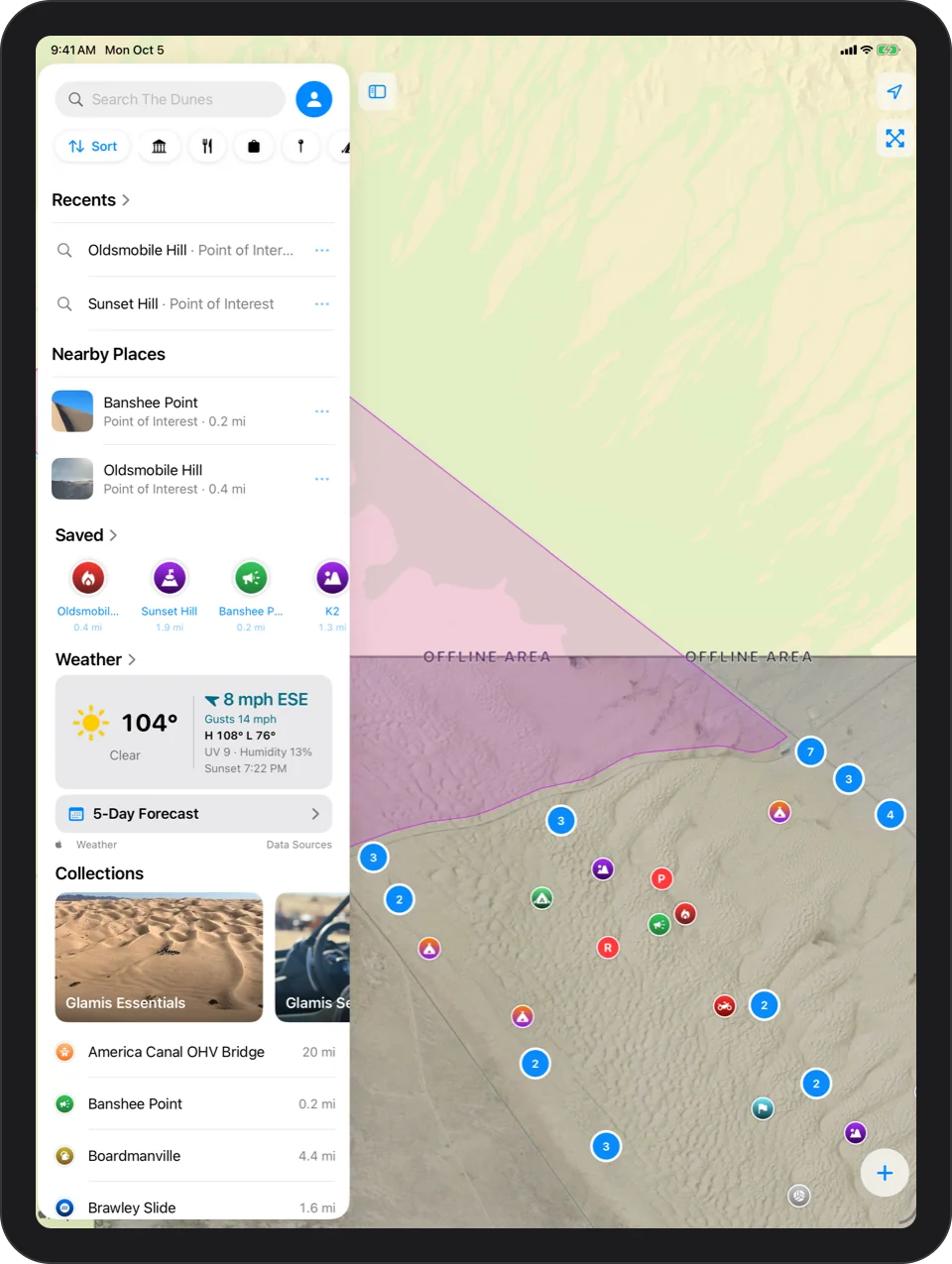
The Whole Dune Field, Already On Your Phone
NAIP imagery of the entire recreation area ships inside the app, with a custom elevation model applied so the terrain stands out. Nothing to download and nothing to remember before you leave home.
Apple Satellite, If You Want It
Prefer Apple's satellite photos? Switch any time. If they cannot load out there, one tap takes you back to the offline map.
Every place tells its story.
80 camps, hills, washes and landmarks, each with a photo, its elevation and the story behind it, plus one panel to find any of them in a couple of letters.
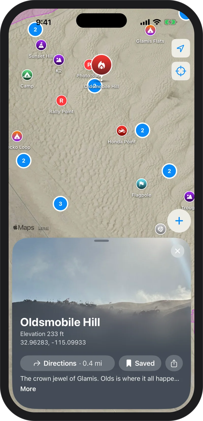
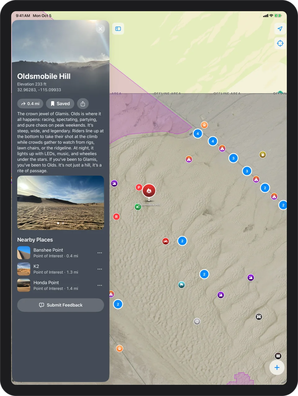
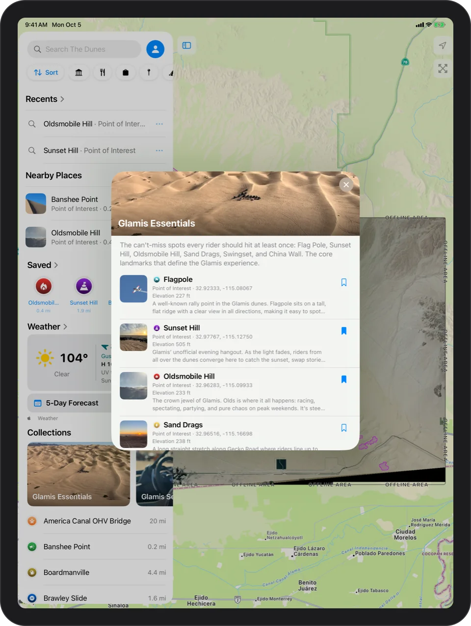
80 Places
37 camps, 36 points of interest, vendors, food and both ranger stations. Oldsmobile Hill, China Wall, Sunset Hill, Sand Drags, Swingset, Competition Hill, Glamis Beach Store and more.
The Place Card
A big photo, the story of the place, how high it sits and how far away it is right now. Then Directions, Save and Share.
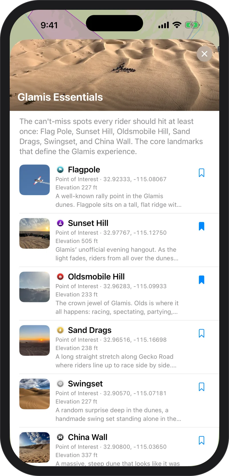
Saved And Collections
Save the spots you want this weekend, and start with Glamis Essentials, the six places every rider should hit once.
One panel. Your dunes.
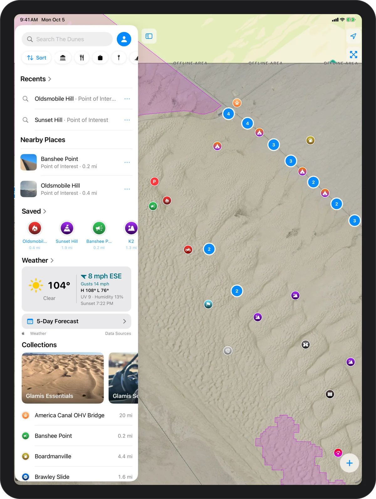
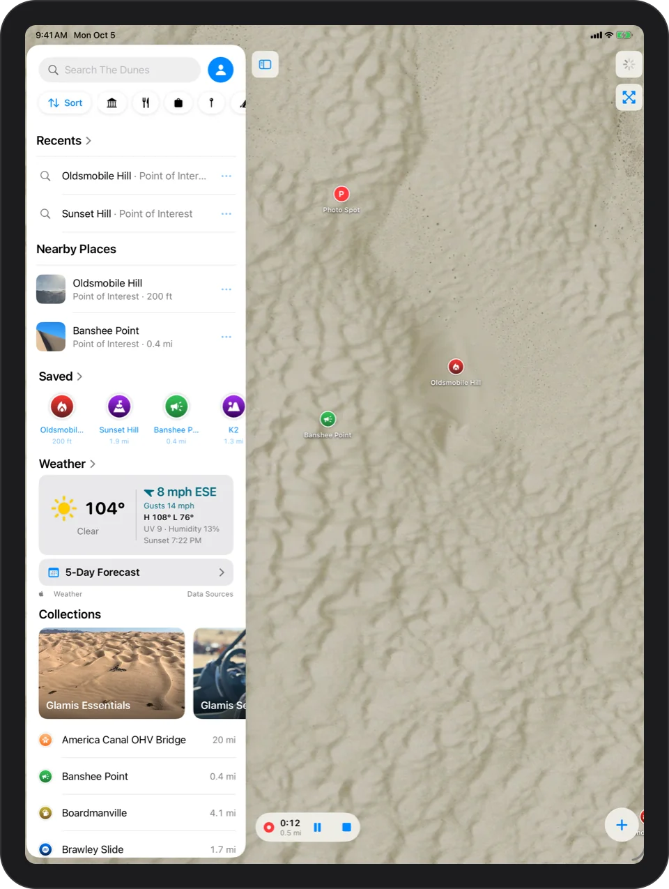
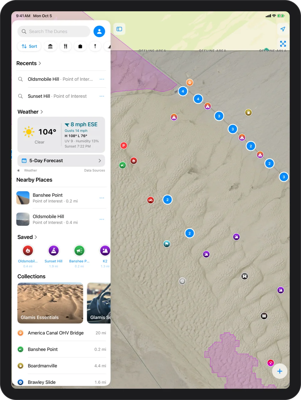
One panel at the bottom of the map holds your saved spots, what is nearby, the weather and the collections.
- Search finds any place in a couple of letters, and your own waypoints and tracks too.
- Filter to camps, points of interest, vendors, food or restrooms.
No roads. No turns. Just a heading.
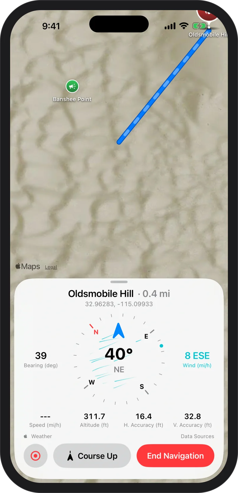
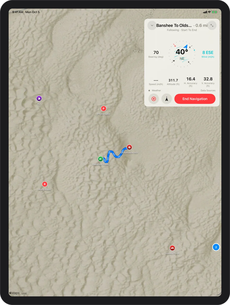
Pick any spot and Glamis Guide draws a straight line to it, with live distance and compass heading. Out here there are no roads, so there are no turns. You always know exactly how far and which way. It tells you when your line crosses a closed area, and it never pretends there is a road.
- Live distance and bearing, updating as you ride
- A big compass with the wind on it
- Distance and direction on your Lock Screen and in the Dynamic Island, without unlocking your phone
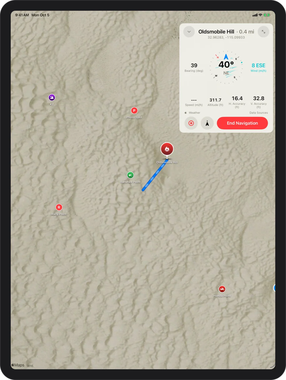
A Straight Line To Anything
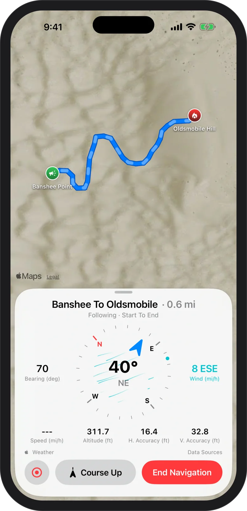
Directions to any place, any waypoint or your camp: how far, which way, a big compass that turns with you, and a line on the map straight to where you are going.
Route Crosses A Closed Area
If your line passes through a closed area, the app tells you on the map and on your Lock Screen. It warns you; it does not pick a different route.
Lock Screen And Dynamic Island
Distance, destination and an arrow pointing the way, without unlocking. It tells you when you have arrived and when a closed area is ahead.
Mark it. Record it. Find your way back.
Drop your camp the moment you park, pin the spots you want to remember, and record every ride. When it is time to head in, Glamis Guide points you home.
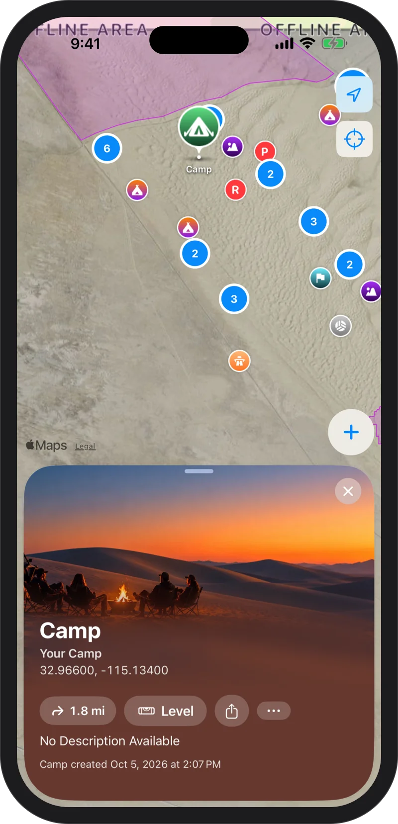
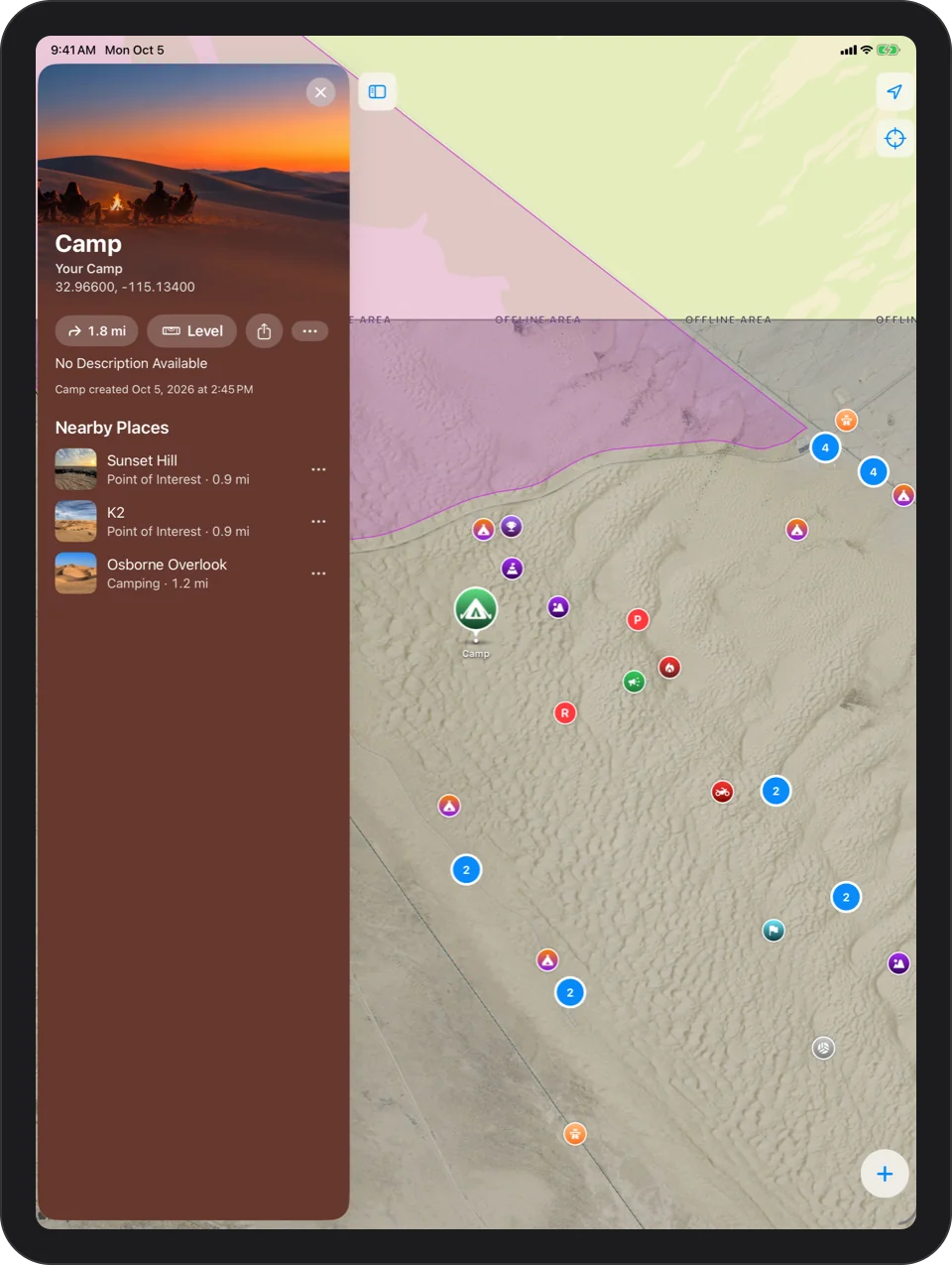
Mark Camp
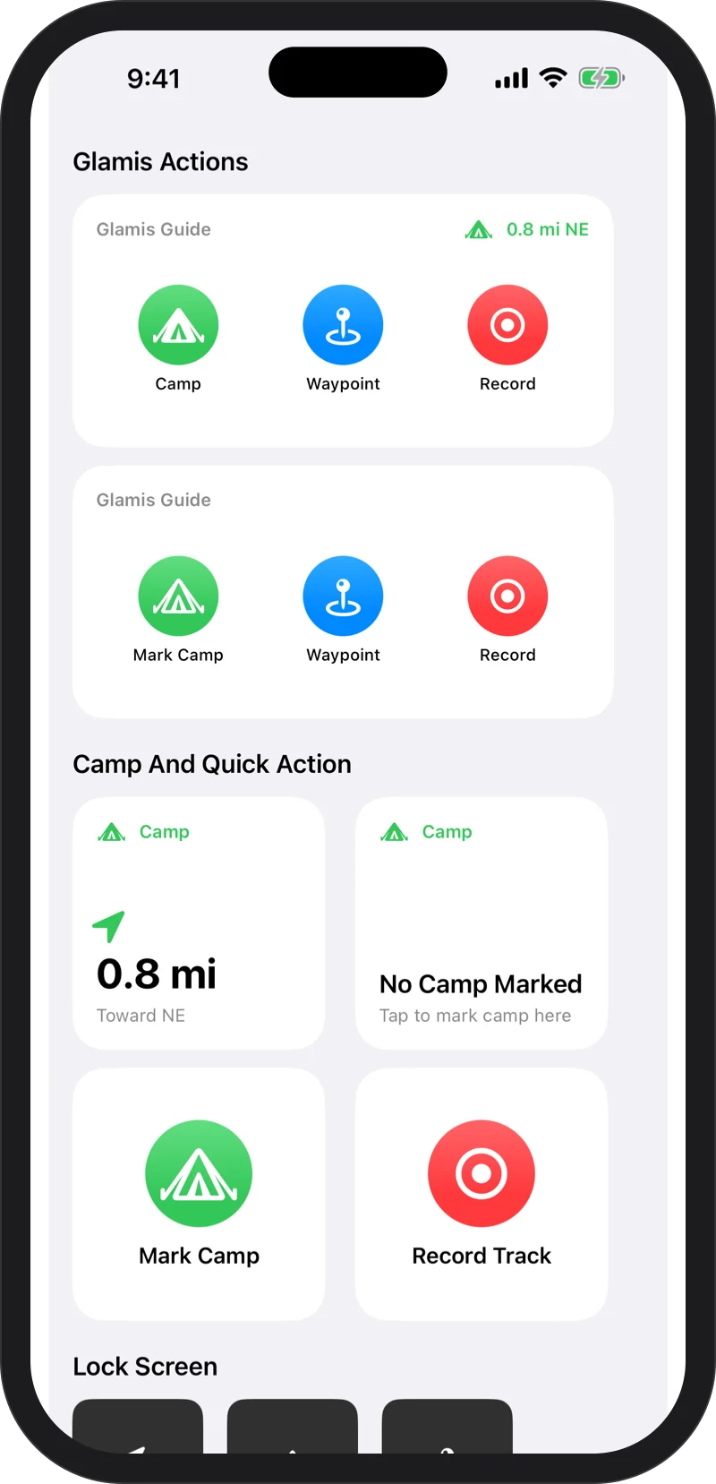
Tap once when you park and your camp is saved where you stand. Getting back is one tap from the app, a widget, Siri or your watch.
Waypoints
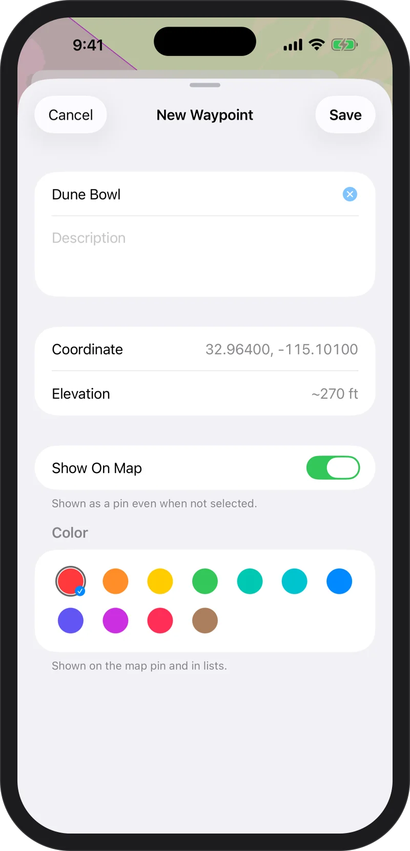
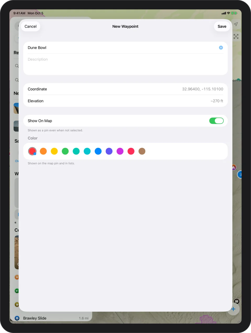
Press and hold anywhere on the map to pin a spot, then give it a name and a color. Waypoints show up in search and on your watch.
Record Your Ride
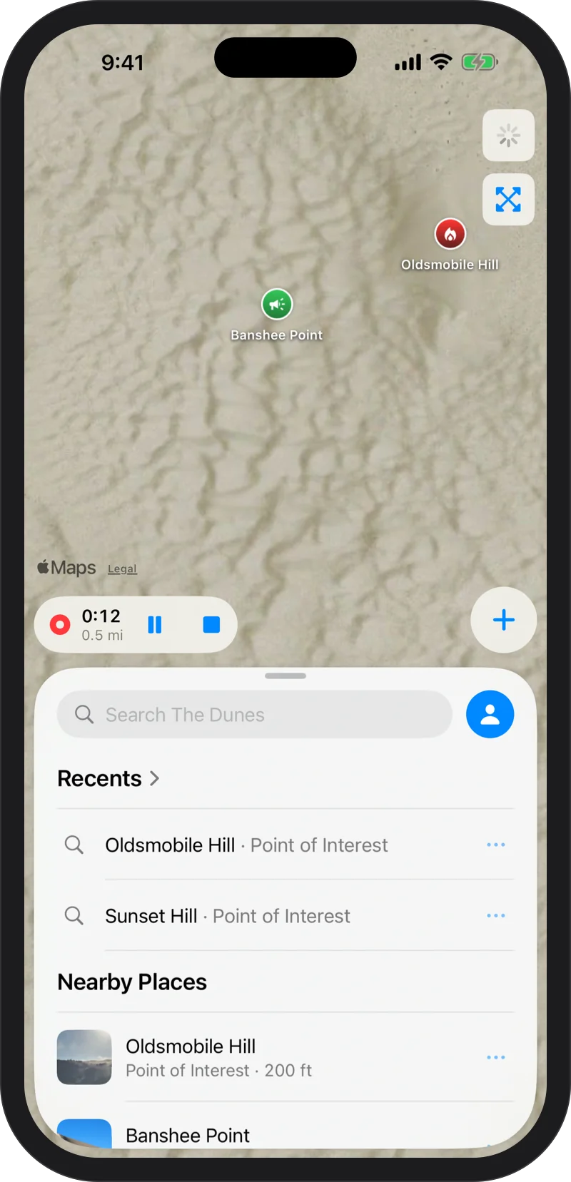
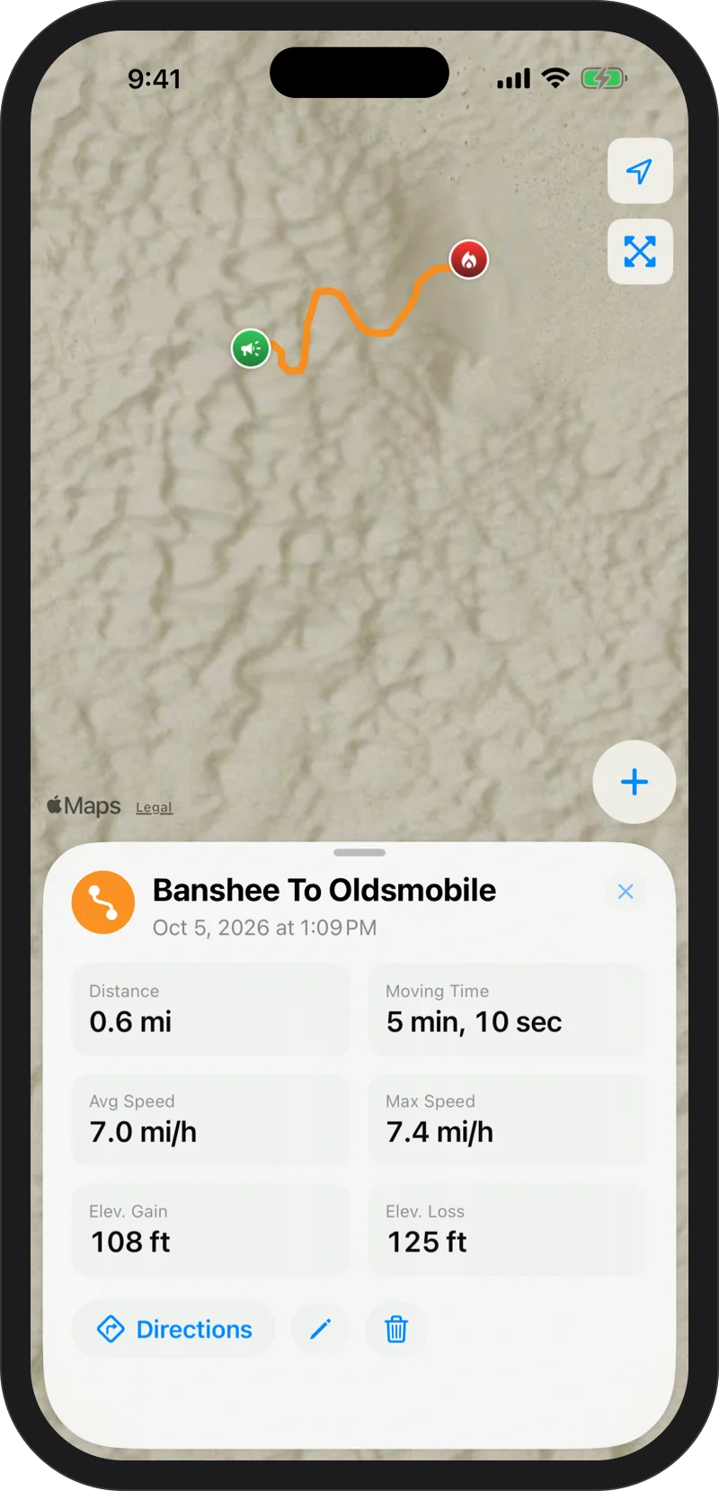
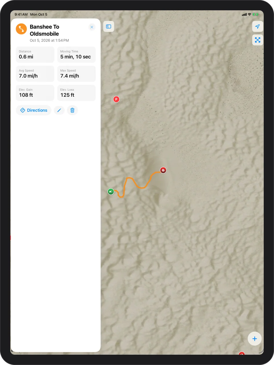
Tap Record and ride. It keeps going with your phone locked, pauses on its own when you stop, and ends with distance, moving time, top speed and climb.
Follow A Track Back
Any track becomes directions, start to end or end to start. Drift off it and the app lets you know.
Know before the wind does.
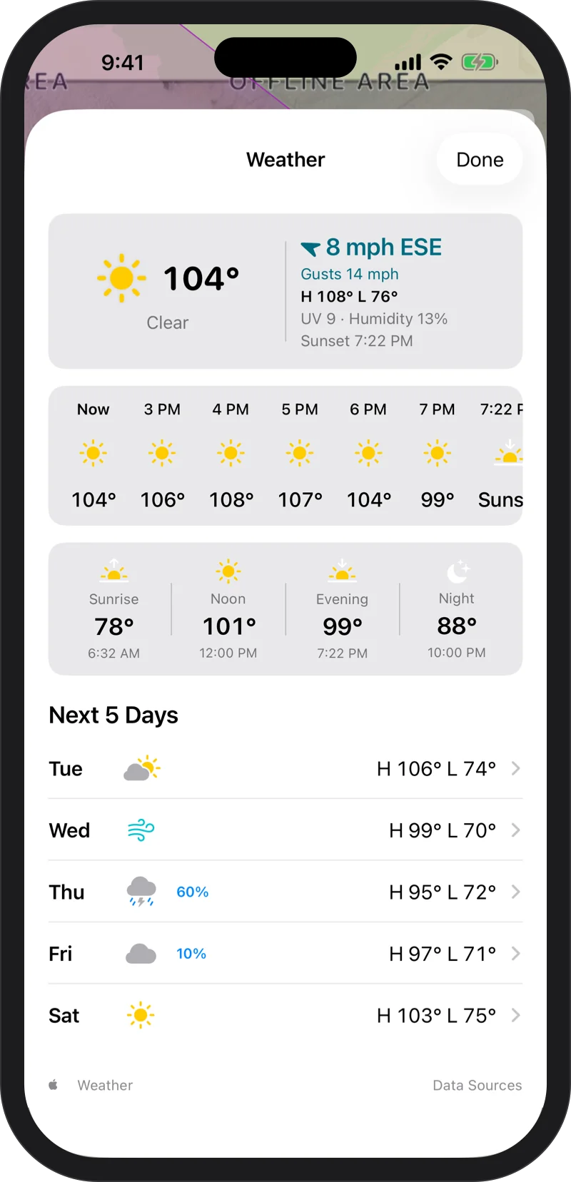
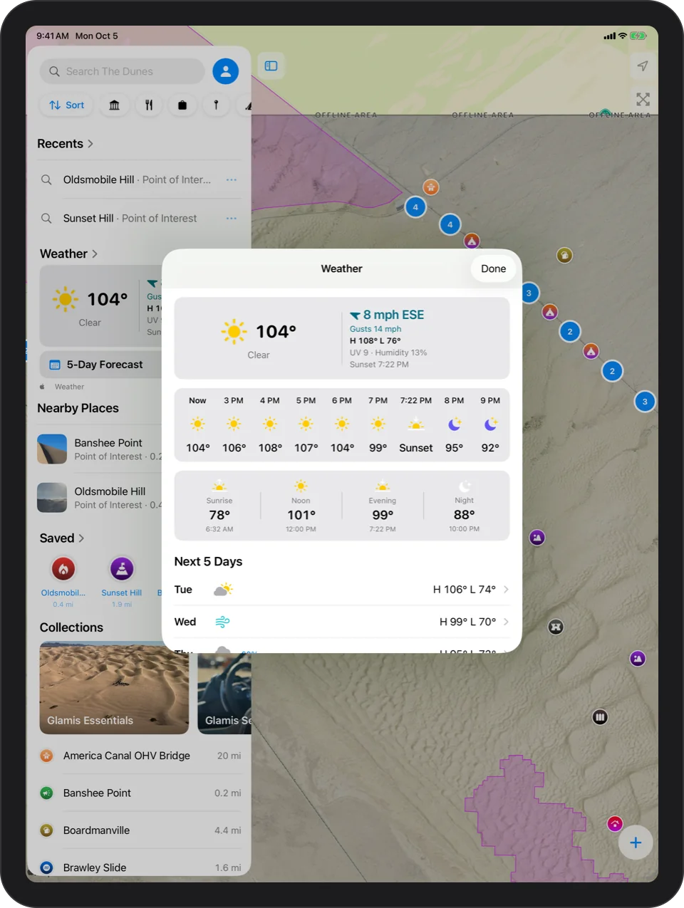
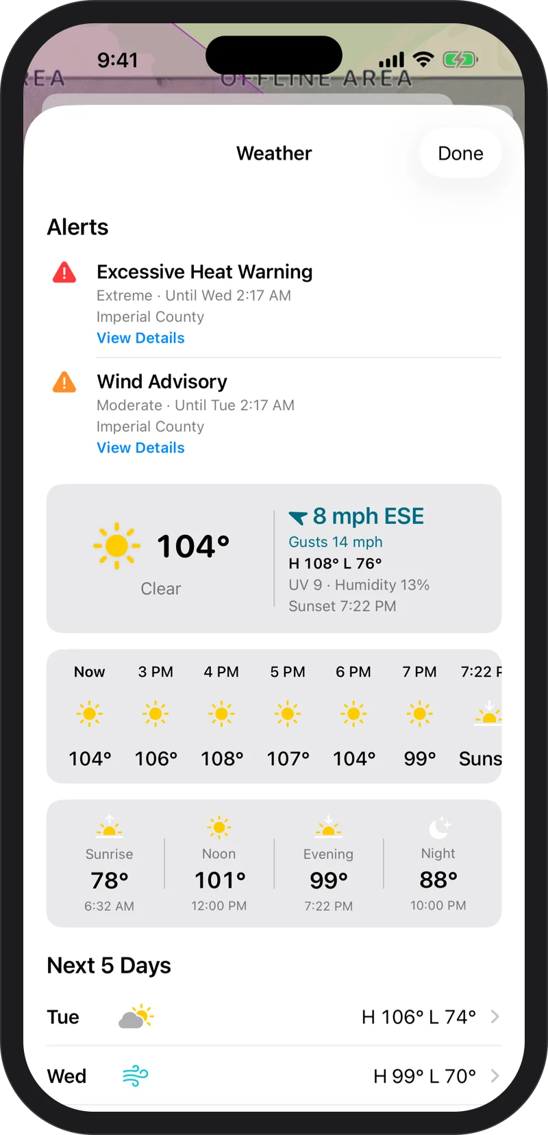
Current conditions and five days ahead, measured at the dunes, not at the nearest town, with weather alerts right in the app.
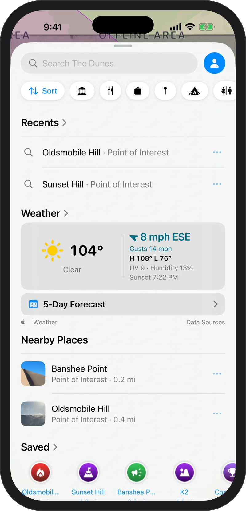
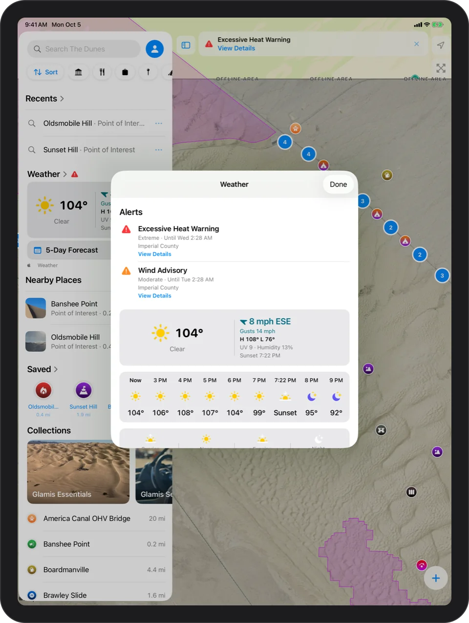
Now And Five Days Out
Conditions, wind with gusts, high and low, UV and sunset for the dunes, plus a 5-Day Forecast.
Weather Alerts
When the National Weather Service issues an alert for the dunes, it shows up in the app.
Works Offline
The last forecast stays on your phone after the signal is gone.
Weather · Data sources and attribution
Your camp is on your wrist.
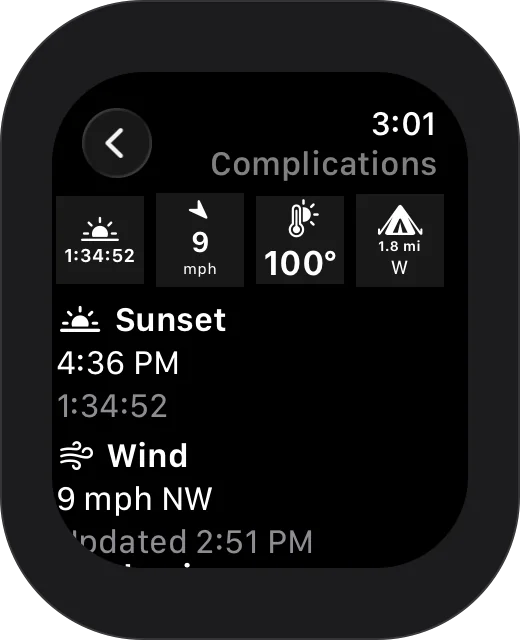
Leave the phone in the bag. Glamis Guide on Apple Watch marks camp, points you back to it, tracks your ride with the wrist down and retraces your path home.
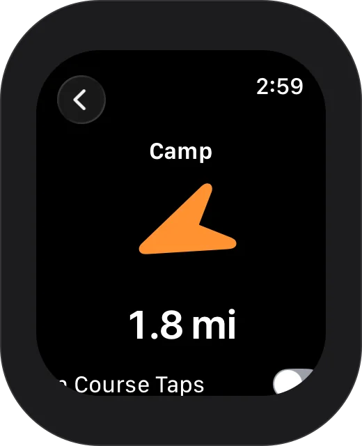
An Arrow Home
Mark Camp from your wrist, then follow a big arrow and a countdown back to it, or to any place or waypoint. The arrow turns green when you are headed the right way.
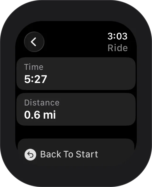
Ride
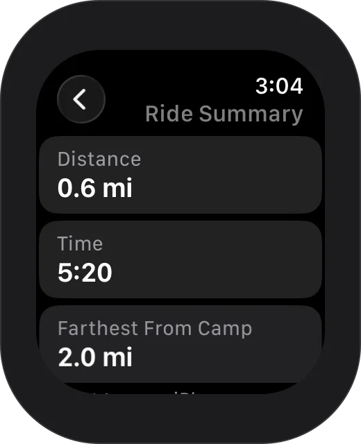
Start Ride keeps the watch tracking you with your wrist down. End Ride shows how far and how long you rode, and sends the ride to your iPhone as a track.
Back To Start
Leads you back along the exact path you rode.
Watch Faces
Sunset countdown, wind, temperature, and the way to camp.
One tap. Or no taps.
Gloves on, phone in a mount, no time to tap through menus.
Widgets And Controls
Mark Camp, Waypoint and Record on your Home Screen, your Lock Screen, in Control Center and on the Action button. The Camp widget always shows how far camp is and which way.
Siri
No setup. Say it and it happens.
Just ask.
Glamis Guide works with Siri for the moments that matter most. No setup.
“Hey Siri, mark camp in Glamis Guide”
Saves your camp where you stand
“Hey Siri, navigate to Sand Drags in Glamis Guide”
Starts directions, no unlocking required
“Hey Siri, record my ride in Glamis Guide”
Starts recording a track
Meet me at Oldsmobile.
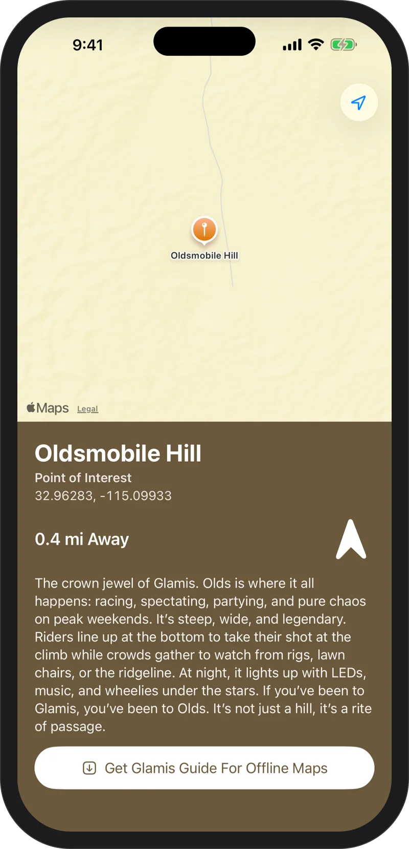
Share any place or your camp with a link. Friends with Glamis Guide land right on it. Friends without it still see the spot, how far away it is and which way to go, with no install.
Send A Link
Tap Share on any place or on your camp and send it through Messages or any other app.
No App? No Problem
Friends without Glamis Guide still see the spot, how far away it is and which way to go, with nothing to install.
Your rides stay yours.
Private
No account, no ads, no tracking. Your location, your camp and your tracks never leave your phone.
Made For iPhone, iPad And Apple Watch
A real app on every device, built for sunlight, gloves and speed, with VoiceOver, larger text and Dark Mode.
Ride Responsibly
Glamis Guide is a reference tool, not a navigation or emergency system. Always follow posted signs. Not affiliated with the Bureau of Land Management.

Every dune, offline.

Free on the App Store. Requires iOS 17 or later; the Apple Watch app requires watchOS 11 or later.