Glamis Guide / Offline Map
Zero bars required.
The offline map of the Glamis dunes.
The whole dune field is already on your phone: NAIP imagery with a custom elevation model applied, so every bowl, ridge and slip face reads at a glance, whether or not you have a signal.

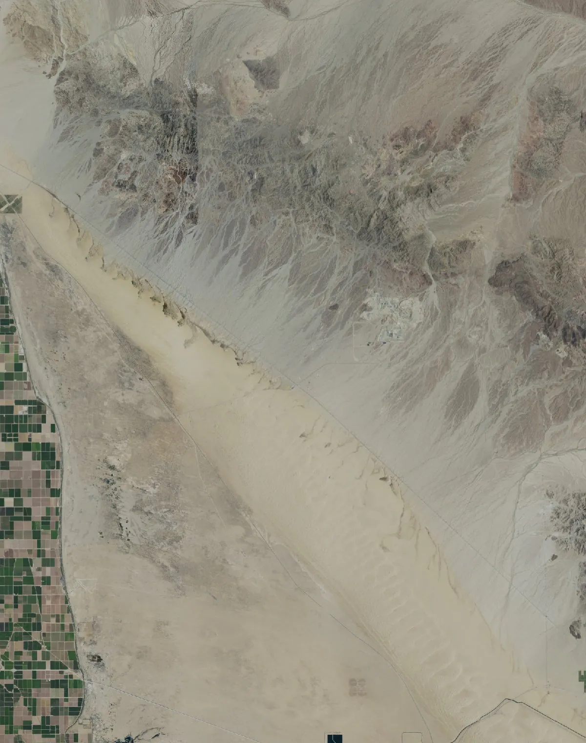
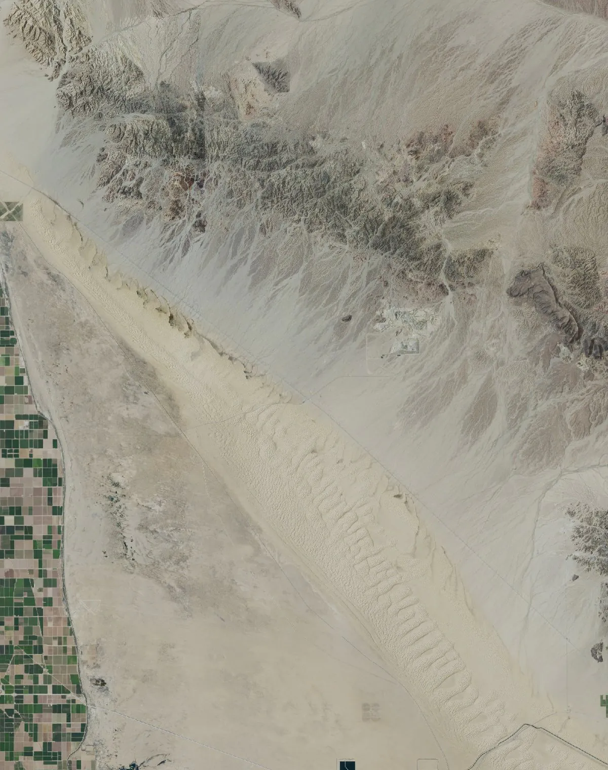
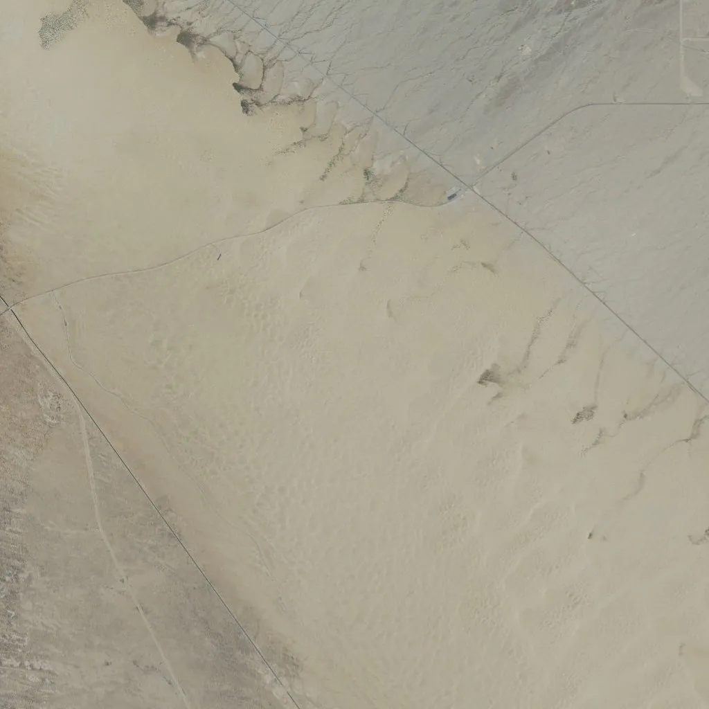
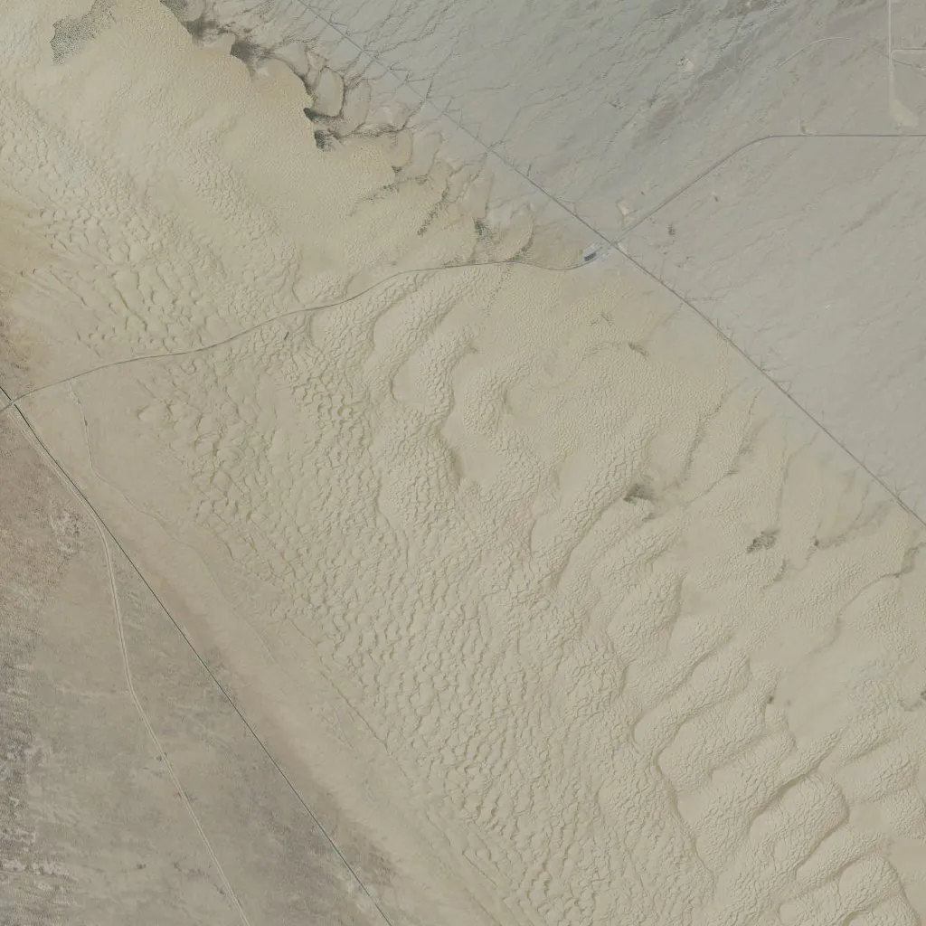
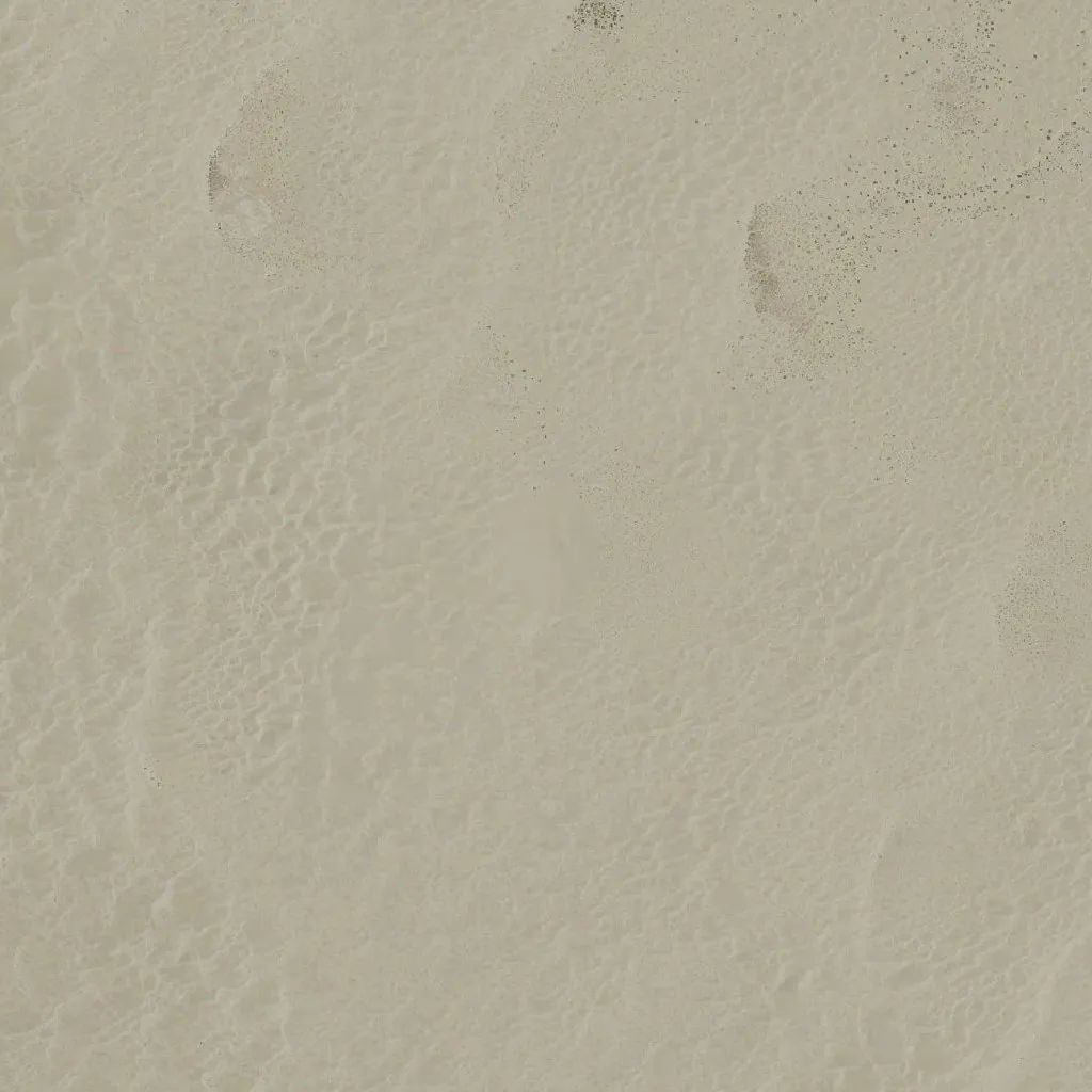
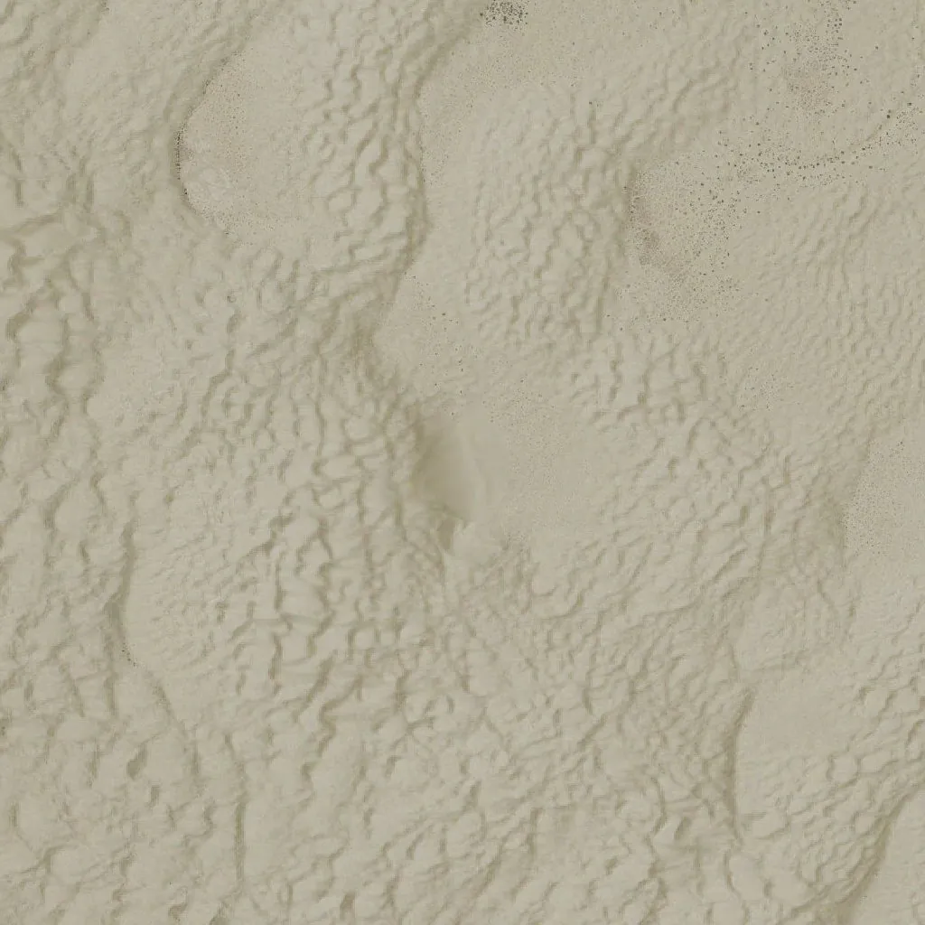
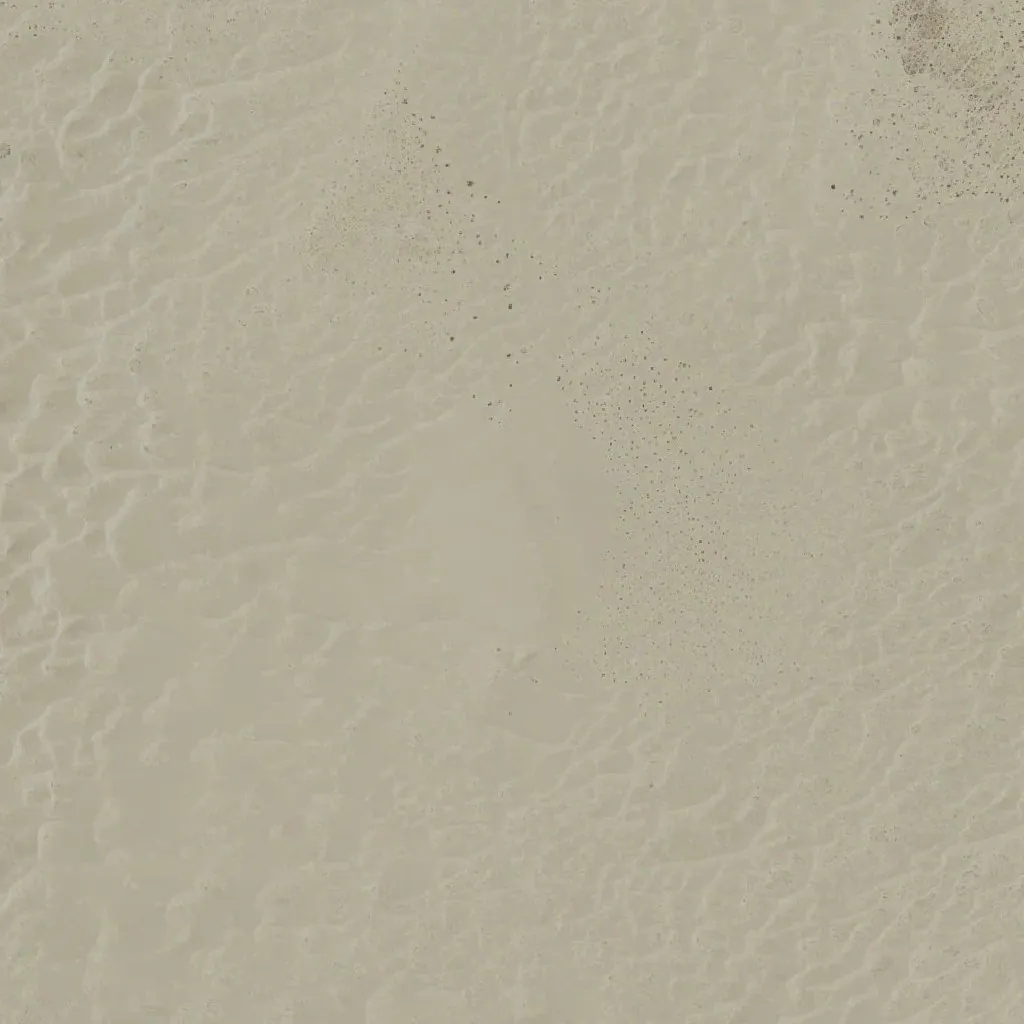
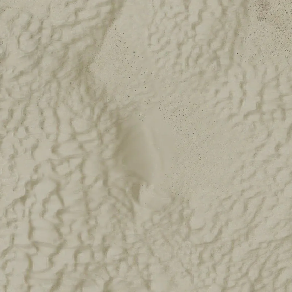
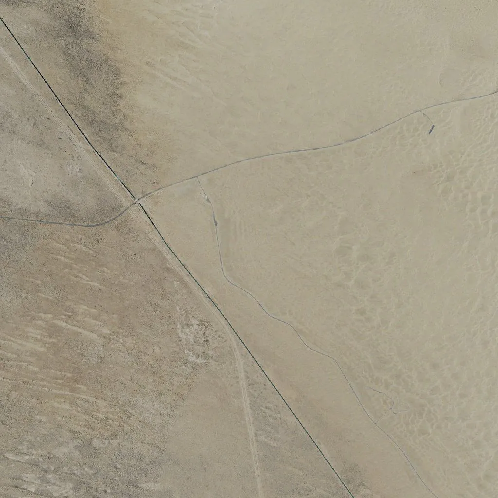
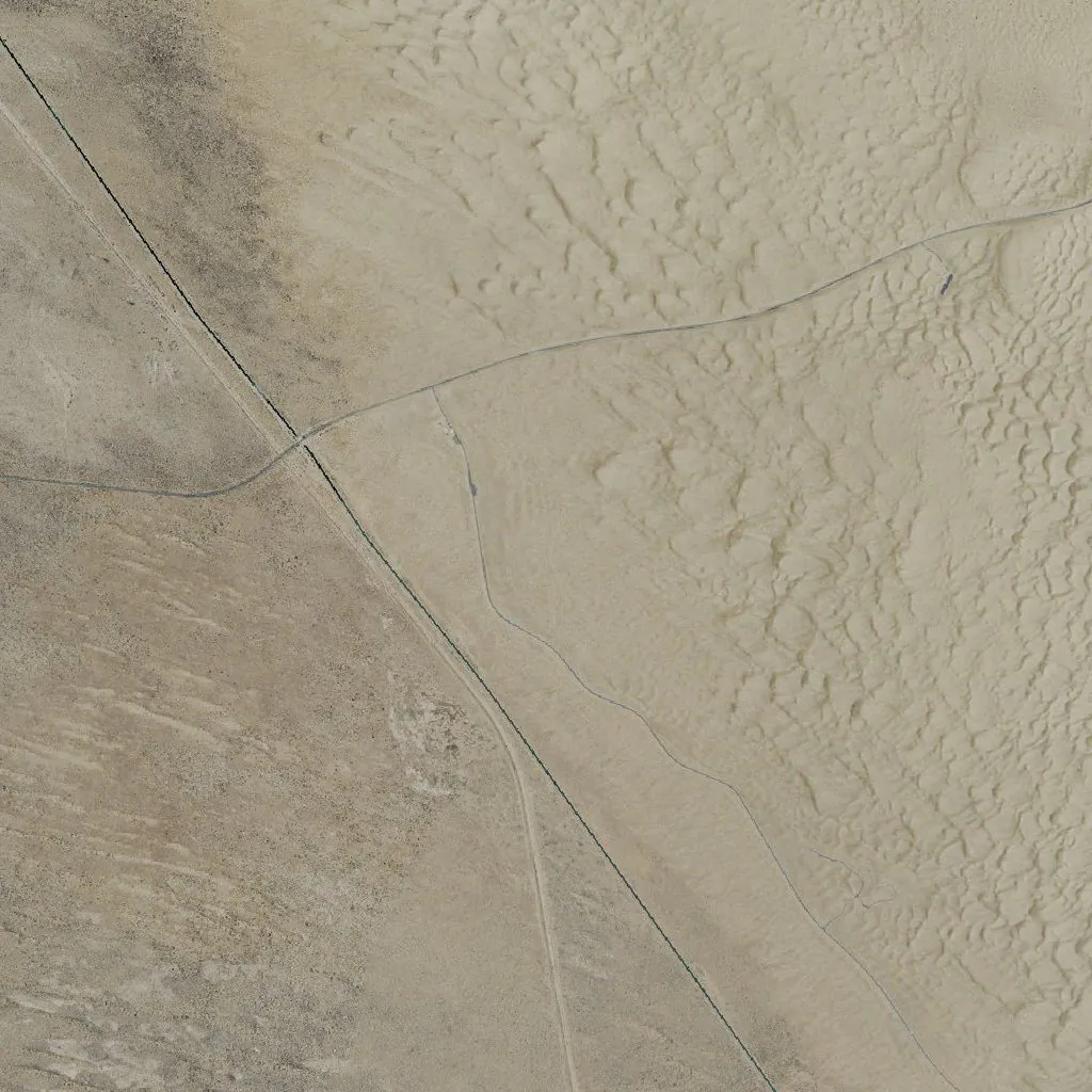
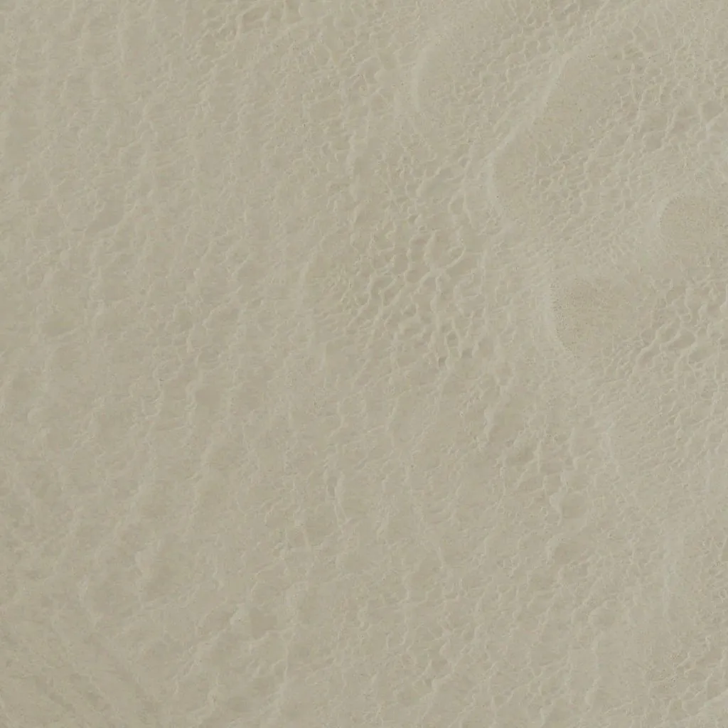
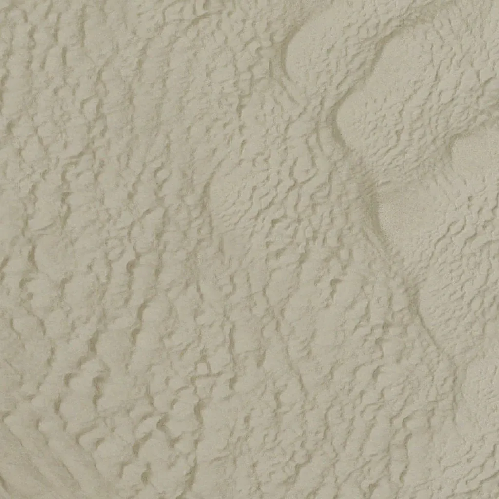
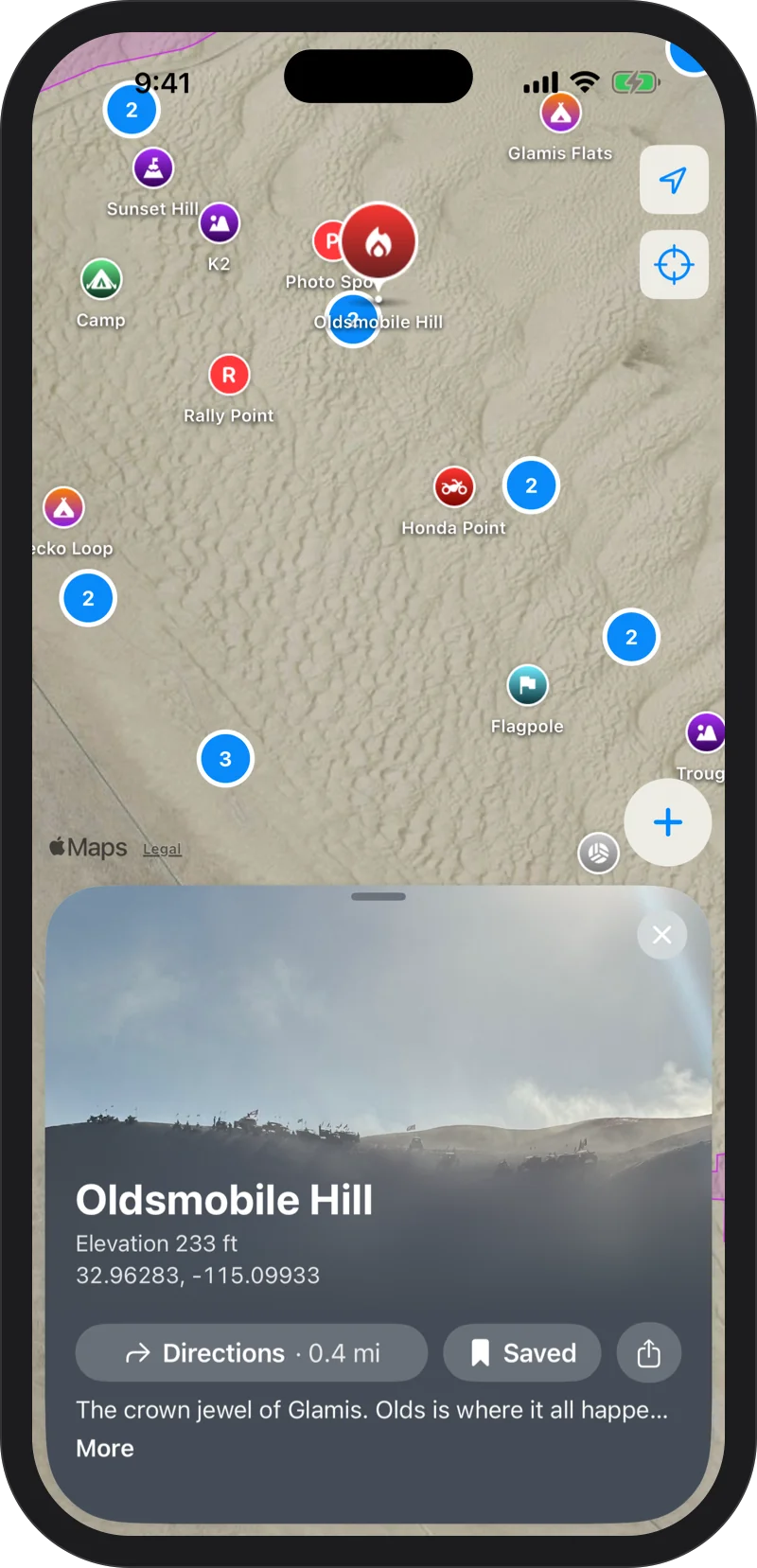
Oldsmobile Hill at riding scale. The bowl and the slip face are impossible to miss.
The Whole Dune Field, Already On Your Phone
NAIP imagery of the entire recreation area ships inside the app, at zoom levels 10 to 16. Nothing to download and nothing to remember before you leave home.
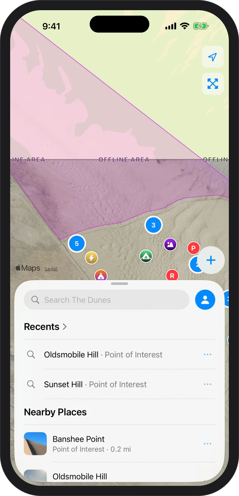
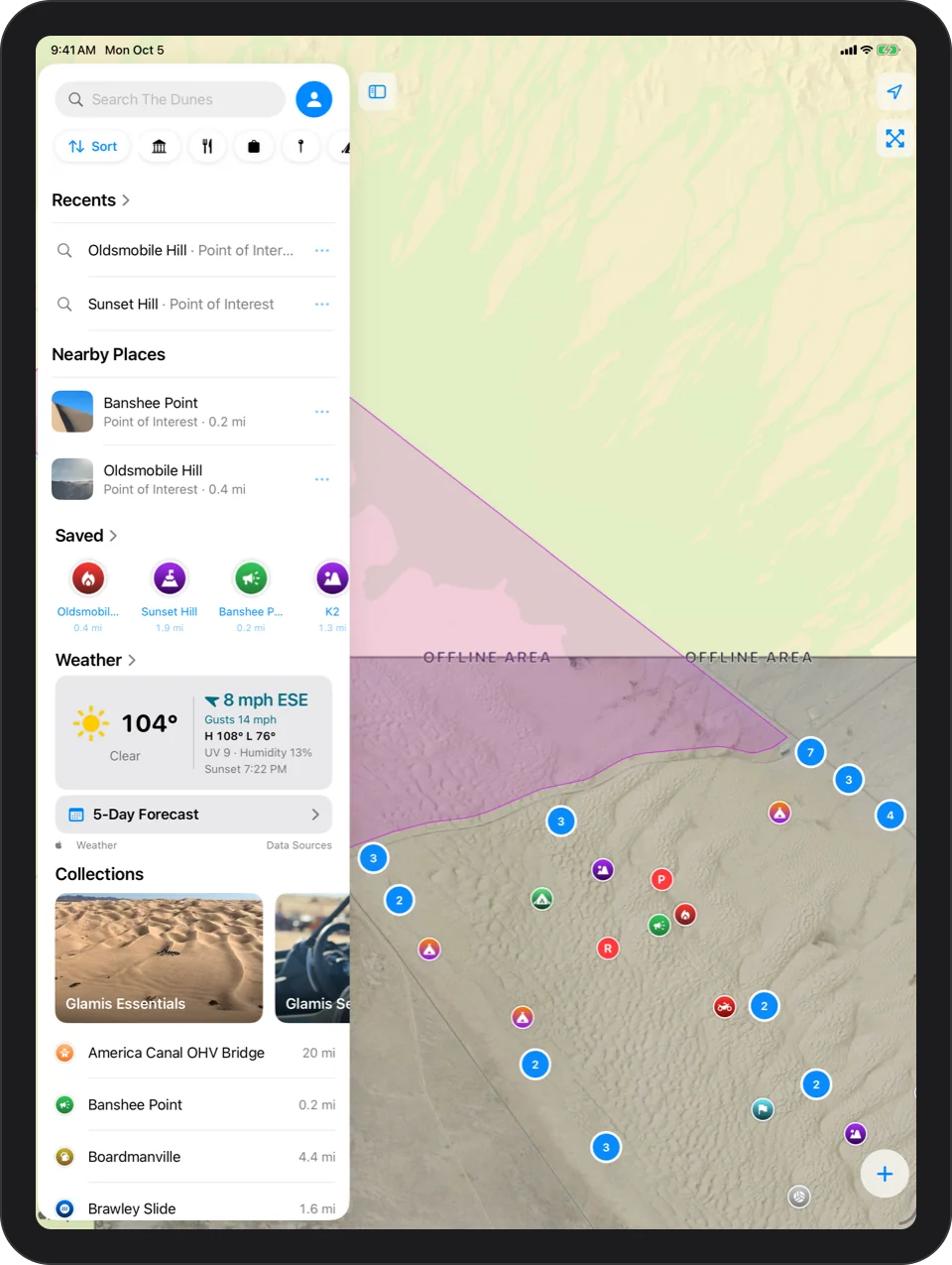
The covered area is outlined on the map as Offline Area. Outside it, the standard Apple map fills in.
Sand Has Shape
Flat imagery makes every dune look the same. Glamis Guide applies a custom elevation model, so the ridges, bowls and slip faces stand out. Drag the slider above to see the difference at Oldsmobile Hill, Sand Drags and Swingset.
Closed Areas, Marked
The North Algodones Dunes Wilderness is drawn in purple, and so are the BLM OHV closures from the official Imperial Sand Dunes map: the Coachella Canal and Patton Valley band, Mammoth Wash, Test Hill and Buttercup.
Ride into one and the app tells you, with a buzz. A guide, not a survey. Always follow posted signs.
Apple Satellite, If You Want It
Prefer Apple's satellite photos? Switch any time under Settings, then Map, then Imagery Source. If they cannot load out there, one tap takes you back to the offline map.
Every Place, Offline Too
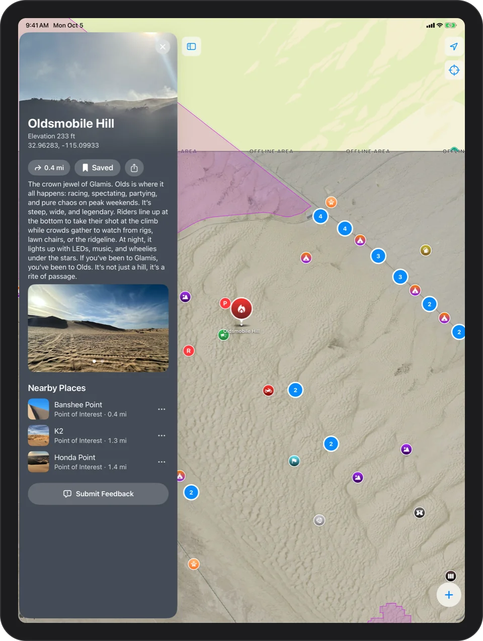
The places, their photos and their stories are stored on your phone as well, so the whole guide works with no signal. Browse every place.

Every dune, offline.
Free on the App Store. Requires iOS 17 or later; the Apple Watch app requires watchOS 11 or later.