Glamis Guide / Places /
Ogilby
Point of Interest · Hills And Landmarks in the Imperial Sand Dunes
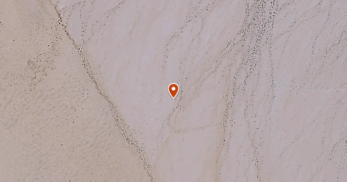
Ogilby is a quieter camping area on the southwest edge of the dunes, away from the busier Glamis and Gecko crowds. Riders like it for the open space, easier access, and more laid-back atmosphere. It is a good choice for those who want to enjoy the dunes without the heavy traffic and noise of the main camping hubs.
| Elevation | 283 ft |
|---|---|
| Coordinates | 32.81528, -114.88698 |
On iPhone and iPad, this link opens in Glamis Guide, the offline map for the dunes, with the distance and direction from where you stand.

Nearby Places
- Ogilby Microwave Tower 0.2 mi south
- Ogilby Rail Road Crossing 2.9 mi east
- Patton Valley 4.2 mi southwest
- America Canal OHV Bridge 4.6 mi south
How Glamis Guide Helps
A Straight Line There
Pick Ogilby and Glamis Guide draws a straight line to it, with live distance and compass heading. It tells you when the line crosses a closed area. How navigation works
On Your Lock Screen
Distance and direction stay on the Lock Screen and in the Dynamic Island, so the phone stays locked in its mount. See the Lock Screen
On Your Wrist
On Apple Watch, ask Siri how far it is to Ogilby. Glamis Guide on Apple Watch
Before You Ride
Check the wind, gusts and sunset for the dunes before you head out. Glamis weather
With No Signal
The whole map lives on your phone, so it works when the signal does not. About the offline map