Glamis Guide / Places /
Patton Valley
Point of Interest · Hills And Landmarks in the Imperial Sand Dunes
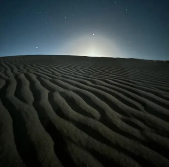
A wide, smooth stretch of dunes with long lines and sweeping bowls. Patton Valley gets its name from the WWII training grounds nearby, and it still feels like open territory. It is a favorite spot for carving big turns and picking up speed. The terrain here is more open than technical, making it great for all skill levels. Riders often pass through on their way to China Wall or Sunset Hill, but it is worth stopping to take it all in, especially at sunrise or sunset.
| Elevation | 286 ft |
|---|---|
| Coordinates | 32.77500, -114.94217 |
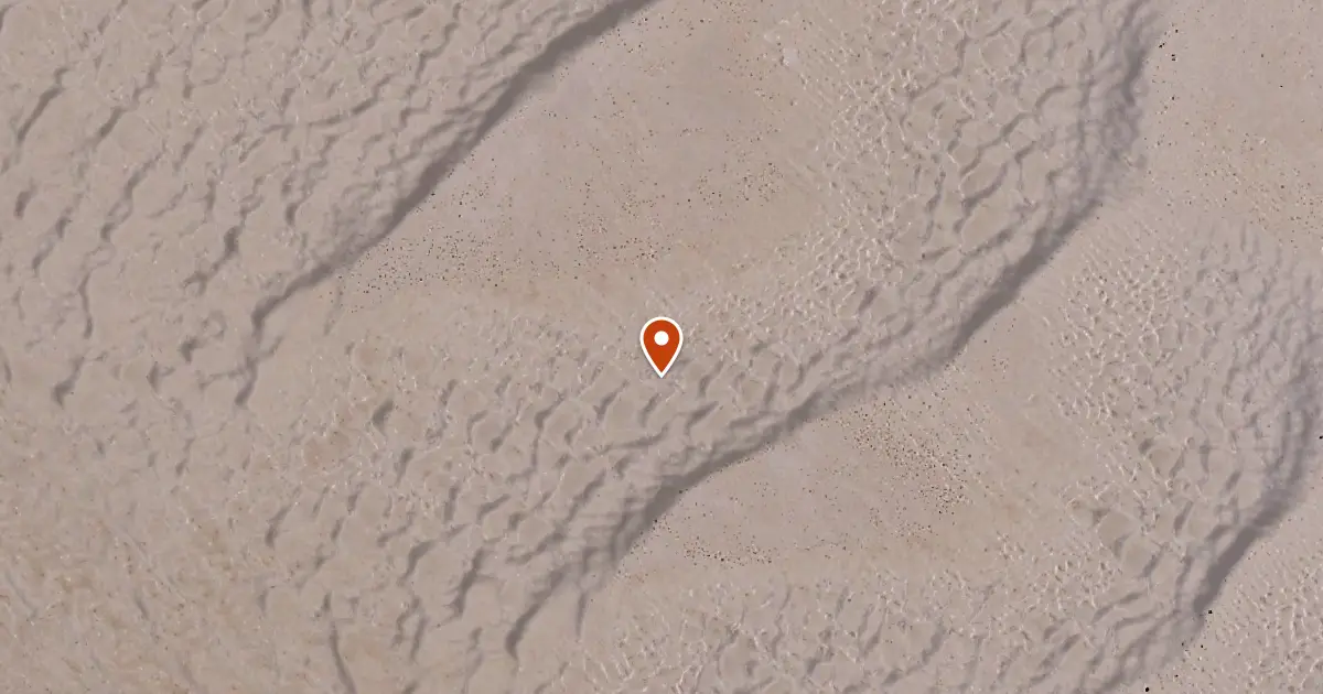
On iPhone and iPad, this link opens in Glamis Guide, the offline map for the dunes, with the distance and direction from where you stand.

Nearby Places
- Canal Crossover to Patton Valley 1.8 mi southwest
- Test Hill 3.6 mi southeast
- Gordons Well 3.8 mi south
- Buttercup Ranger Station 4.0 mi southeast
How Glamis Guide Helps
A Straight Line There
Pick Patton Valley and Glamis Guide draws a straight line to it, with live distance and compass heading. It tells you when the line crosses a closed area. How navigation works
On Your Lock Screen
Distance and direction stay on the Lock Screen and in the Dynamic Island, so the phone stays locked in its mount. See the Lock Screen
On Your Wrist
On Apple Watch, ask Siri how far it is to Patton Valley. Glamis Guide on Apple Watch
Before You Ride
Check the wind, gusts and sunset for the dunes before you head out. Glamis weather
With No Signal
The whole map lives on your phone, so it works when the signal does not. About the offline map